Here is the route
Click on the Marker to open Google Map
What you will see
At a glance
Up and down
Description
The departure is from Cagli, at the beginning of the Cagli-Pergola provincial road, where a long bridge crosses the Burano River.
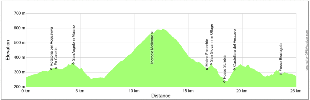
Proceed towards Pergola, passing two roundabouts: the first still within the urban fabric of Cagli Nuova, and the second offering a choice between Frontone or Pergola. Continue straight, turning left immediately after the first house you come to, a former toll booth on the railway that connected Cagli to Fabriano before the destruction of World War II.
The dirt road reaches the small church of S. Angelo in Maiano, which, after an attempted restoration, has been abandoned again. Now it bends to the right, descending along a stretch of water-rich, sometimes muddy, road.
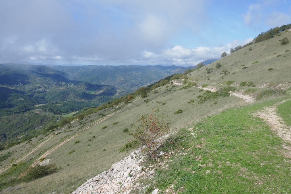
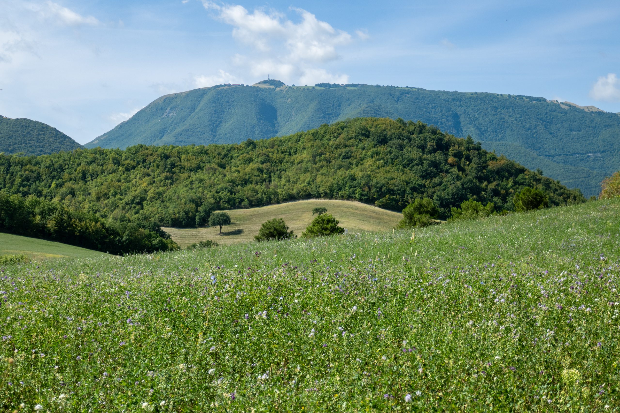
Once you reach the road from Acquaviva, turn left downhill to cross the Fosso Screbia stream on a small bridge. Now begins a long, moderate climb that offers beautiful views of the Apennine ridge from Monte Nerone to Monte Caria and beyond. Don't forget to take some photos.
Once you reach the summit, located at a crossroads, you'll find yourself in Molleone, near the little church of Sant'Apollinare, of which only the ruins of the bell tower remain. Turn left and, after about a kilometer, left again.
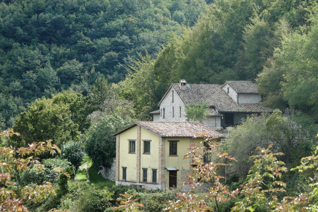
The descent joins the road from Smirra to Monte Martello. Turn left, following the Focicchie stream until you reach the houses of Molino Focicchie. Turn left again, climbing to the small church of San Giovanni in Offage, which is still standing but is in a serious state of disrepair.
Continue along a large field to reach the lowest point of the trail, crossing the Fosso Screbia riverbed. There's usually little water, but after several days of rain, or with the melting snow on Mount Catria, it may be difficult to cross without getting wet. Be careful not to immerse the e-bike motors in water.
A rather steep, but short climb takes you to Castellaro del Vescovo (see the walking itinerary WLK01), another farmhouse, now abandoned. Continuing southwest, you'll reach a dirt road, which you'll take to the right. This road is known to the residents of Cagli as "the Bisciugola road" because in its final stretch it runs alongside the ditch of the same name.
Due to the numerous forks in the road, follow the GPS directions until you rejoin the Cagli Pergola provincial road, near an ice cream shop where it's worth stopping for a while. From here, the trail ends in just a couple of minutes.
Notable places
Download and Print
In “Other Settings” adjust the “scale” to have the route map on a single page. The value 80 should work