Here is the route
What you will see
At a glance
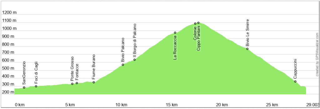
Up and down
Description
You start from Cagli to reach the ancient Flaminia imperial road. The surface is paved and slightly uphill. The road runs alongside the Burano River through a magnificent gorge between the slopes of Monte Tenetra and Monte Petrano. Shortly after crossing one of the last Roman bridges still passable by car (Ponte Grosso), you can refill your water bottles at a spring that is always active, even in summer.
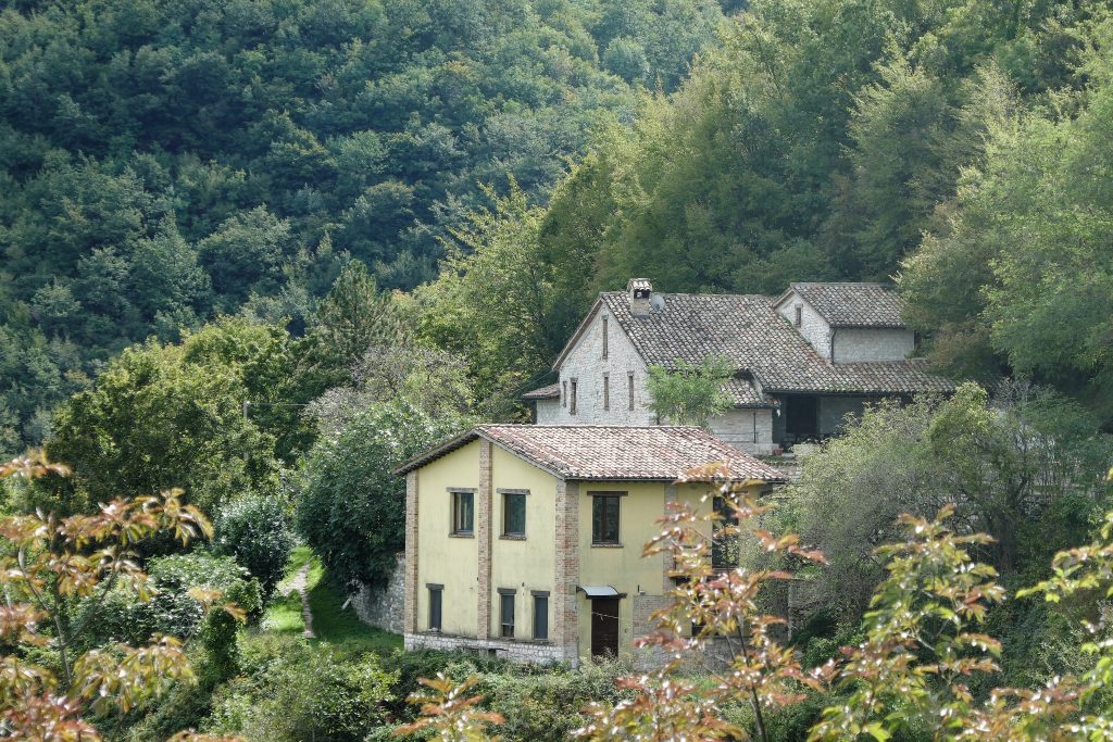
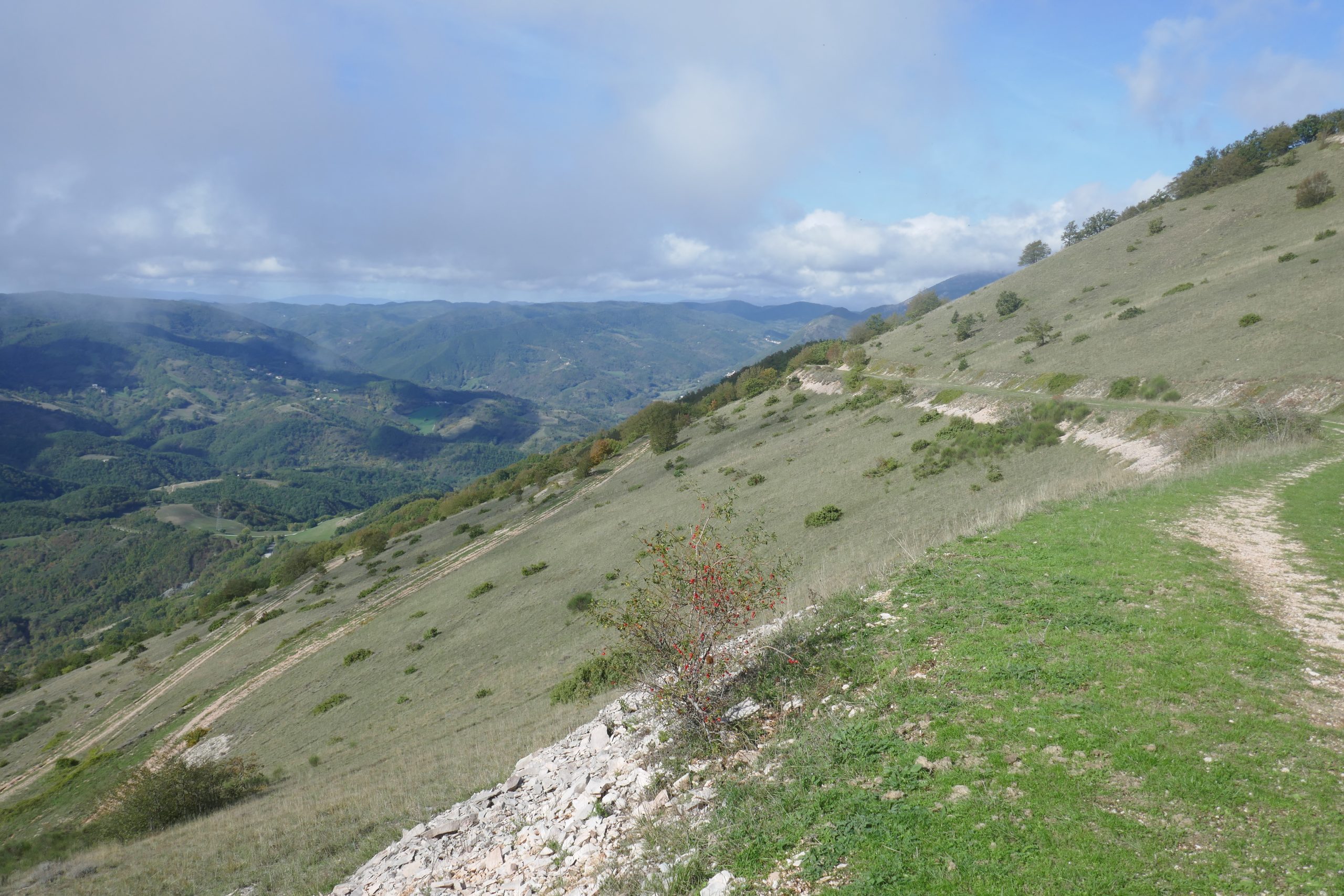
Then turn right to cross the Burano River and begin the steep ascent that will take you to Palcano. After a few hairpin bends and passing the last houses, turn right to climb towards the village of Palcano. After the last house, the ascent continues on a dirt road, which is uneven in places and may have exposed rock. The gradient is never excessive. The view is now completely open to the south, where you can admire the wooded linear relief called “Serra di Burano.”
Reaching an altitude of about 950 meters, the road heads north and passes beneath a small prismatic hill known as “La Roccaccia,” formed by selective erosion of a rock formation called “marne a fucoidi.” Continuing on, you cross an animal fence (remember to close the passage) and come to a wider road that you will take to the right, still climbing. This way, you will circle around the top of the eastern slope of Monte Petrano, until you reach the old colony (now in ruins) and a monument in memory of Michele Scarponi and all cyclists who have been victims of road accidents. You are now on the Monte Petrano plateau, which extends for just under 2 km. To avoid damaging the meadows, I recommend walking while pushing your bicycle. Here, you will also find a couple of bars and a simple campsite.
The return to Cagli takes place over 10 km of descent on paved road with excellent surface. The view opens up to Monte Nerone, Montefeltro (with glimpses of Monte Carpegna and San Marino), and towards the Furlo gorge. The town of Cagli is hidden by Monte di S. Maria and only reveals itself after the second half of the descent. Be cautious; don’t get carried away: the road can be busy and is quite narrow.
Notable places
Download and Print
In “Other Settings” adjust the “scale” to have the route map on a single page. The value 80 should work