
Here is the route
What you will see
At a glance
Up and down
Description
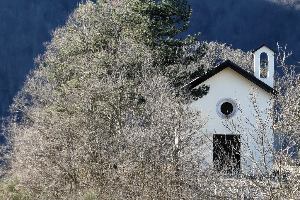
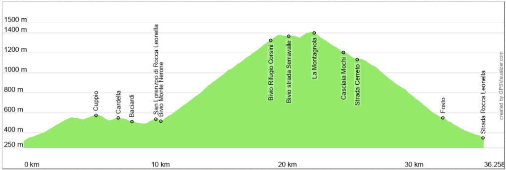
The departure is from Secchiano di Cagli, the only village of a certain size along the route. But you can also start comfortably from Cagli, Pianello or Piobbico, adding, both on the outward and return journey, a few kilometres for transfers. The initial uphill stretch is quite challenging, but the route takes place on a comfortable paved road, with little traffic and shade, with beautiful views of the mountain slopes of Monte Nerone, on your left [2] and of the mountains and valleys that develop on your right. After passing the small villages of Fosto and Cuppio, the road continues with comfortable ups and downs, to reach the small villages of Cardella, where you will find a large fountain to fill your water bottles right along the road [1], and Baciardi. You are in the heart of Rocca Leonella, where the Brancaleoni family who built the castle of Piobbico had their first settlement. It may seem strange now, but the Brancaleoni militias were feared in the Middle Ages and were able to put the town of Cagli to fire and sword. Continue on to reach the foot of the church of San Lorenzo, behind which are the ruins of the castle of Rocca Leonella and, downhill, reach the crossroads from which the climb of Monte Nerone begins, near the town of Acquanera.
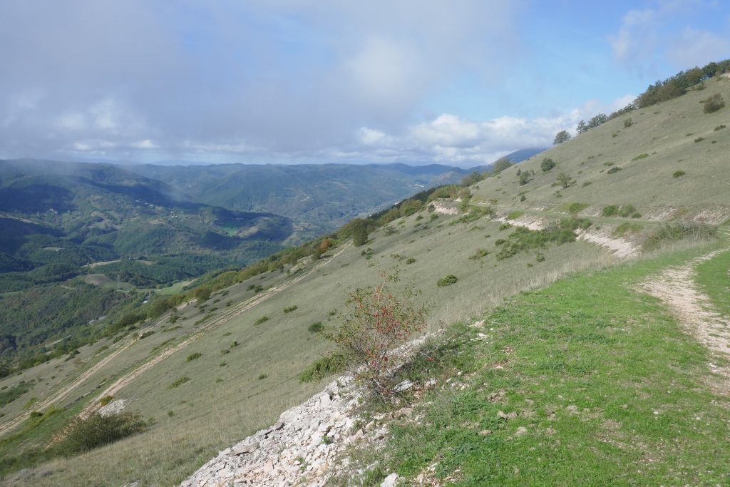
The climb that leads to Nerone was completely paved, but, after decades of neglect, it appears as a dirt road with some bumpy stretches but without difficulties. Going up, on your left you can admire the sharp rocky peak of Monte Serrone [4], while on your right the town of Piobbico [3] and the Candigliano valley, where the valley ends with the steep wall of Balza della Penna [5]. Continuing, you pass stretches closed in the beech forest [6] and stretches with a free view. Having reached an altitude of almost 1200 m, on a hairpin bend you come across a stele [7] dedicated to Prof. Giovanni Pallini, who was so important in the study of the fossils of Monte Nerone. Now you are right above the Grotta dei 5 Laghi, the largest karst cavity discovered so far on Monte Nerone. Continue through the forest [7], until you reach the paved road that runs along the summit of Monte Nerone. If you want, you can turn right to reach the Corsini refuge, which is usually open.
Continue uphill and then slightly downhill with the peak of Monte Nerone on your right [9] and wide pastures on your left, until you reach a fork in the road, take the left. You are now heading towards Montagnola, the second highest peak of the Nerone massif. Along the route, on the bottom right, you have a splendid view of the Fosso del Breccione which separates the two reliefs of Sasso della Rocca and Sasso del Re. [10]. Continue slightly uphill, through woods and pastures [1], to reach a stone which commemorates the sixteenth stage of the 2009 Giro d'Italia [12]. A grueling stage which touched all the main reliefs in the area. You are now on the way back.
From here the route is always downhill. Observe from afar the vertical wall of Il Cimaio [13], which then gets closer [14]. Along the road you may encounter herds of cattle or horses moving along the abundant pastures of these mountains [15]. Ignore the fork on the right that goes down towards Cerreto and continue downhill approaching a relief that appears with a gentle morphology [16], but which on the opposite side (not visible) presents an enormous erosion scarp: Poggio le Guaine. Continue to descend with caution admiring the views, until you reach the village of Fosto [17] where you reconnect with the road that comes from Secchiano and that you have already travelled.
Notable places
Download and Print
In “Other Settings” adjust the “scale” to have the route map on a single page. The value 80 should work