Here is the route
What you will see
At a glance
Up and down
Description
By car, drive up from Chiaserna towards Sassoferrato and, once you reach the Val d'Orbia Pass (Croce di Chiaserna), turn right onto an easy dirt road until you reach a fork. You can park here.
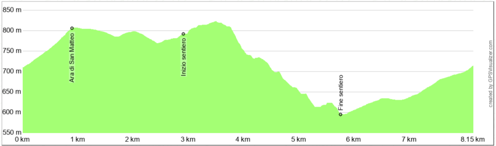
Following the trail, turn left uphill and, after a couple of hairpin bends, reach a saddle between Mount Petria and Mount Orneti, where the Ara di San Maffeo refuge is located (for information and to book the refuge, call +39 3381 862504). Here, take the dirt road on the right that goes slightly downhill.
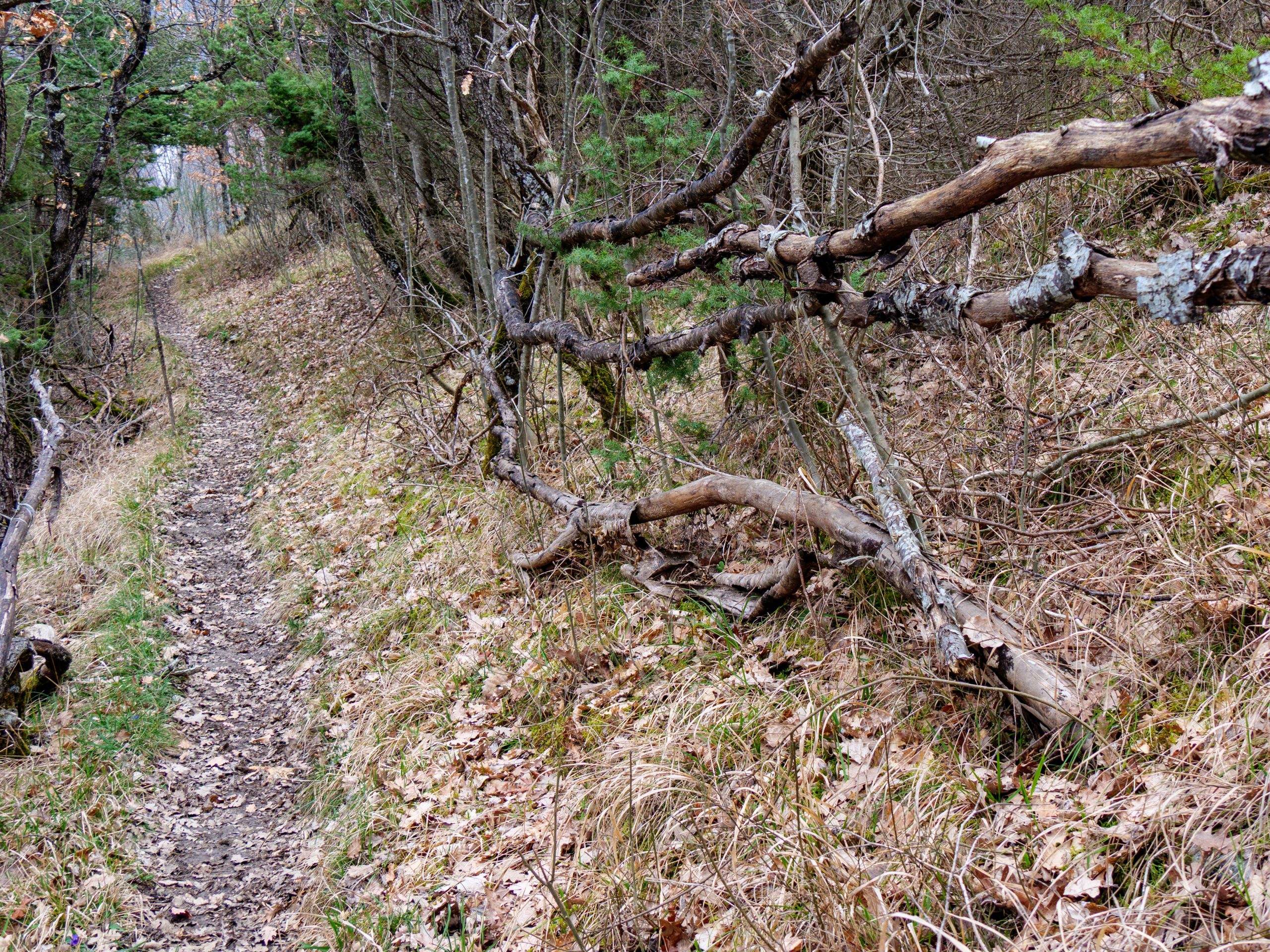
The road runs almost straight along the southern slope of Monte Petria, then turns right. Shortly after, you'll reach a cattle gate; here, leave the dirt road and take a track on the right, which soon becomes an easy, unmarked path.
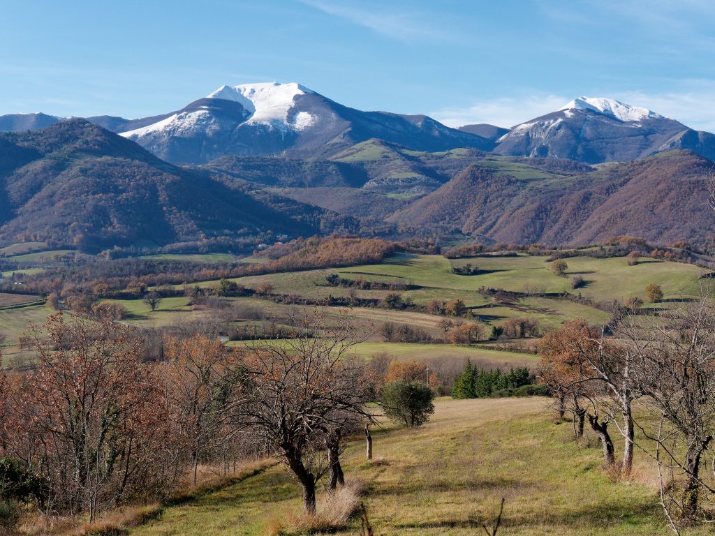
The trail traverses the western slope of Mount Petria, flanked by a dense mixed forest managed by coppice. It initially ascends slightly, then descends, becoming a bit more rugged. Along the way, the view opens onto the Catria Massif and the Burano Valley, which leads from Pontericcioli toward Gubbio. Also interesting is the view of Mount Tenetra and Mount Petrano, separated by the Burano Valley, which display impressive, identical erosion phenomena.
Along the descent, you'll come across a small oak tree marked with a red and white trail marker. From here, a small path descends to the right, soon becoming more visible. Stay on the trail until you reach the dirt road coming from the Chiaserna equestrian center. There's only one possible detour, but this also leads to the dirt road. The GPS track will serve as a safe guide.
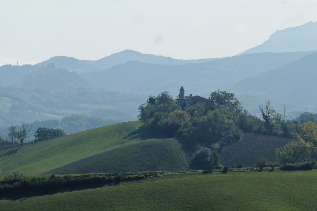
Now all that's left to do is climb a couple of kilometers back to your car. This final stretch follows the northeast slope of Monte Petria and offers beautiful views of Monte Acuto and Monte Catria. Below, you'll first see the village of Chiaserna, then the small hamlets of Malecchie and Pian di Lucchio.
Notable places
Download and Print
In “Other Settings” adjust the “scale” to have the route map on a single page. The value 80 should work