Here is the route
What you will see
At a glance
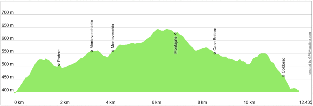
Up and down
Description
The departure is from the locality of Poggetto, a short distance from Serra S. Abbondio, along the road that leads to Pergola Here is the link to Google maps. You can also reach Montevecchio by car and continue on foot.
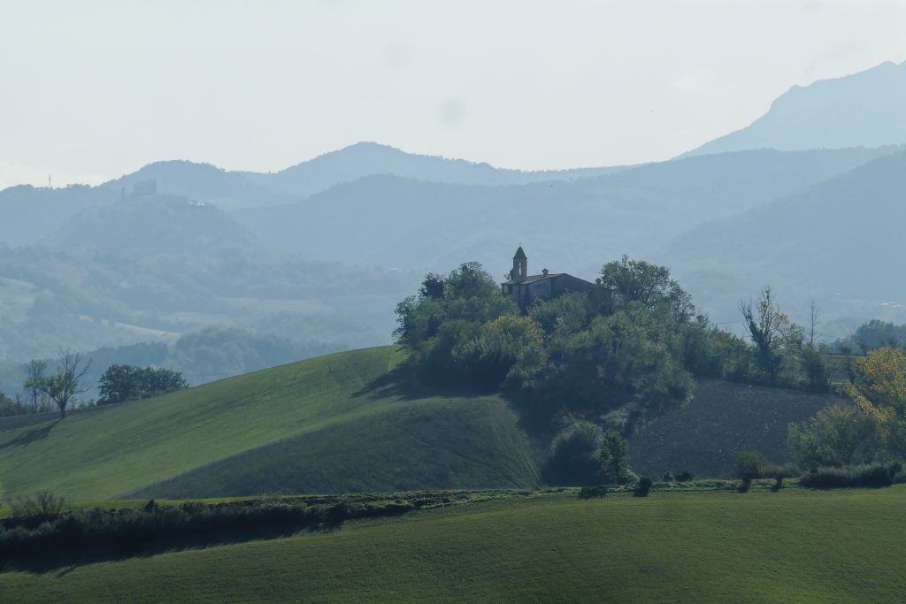
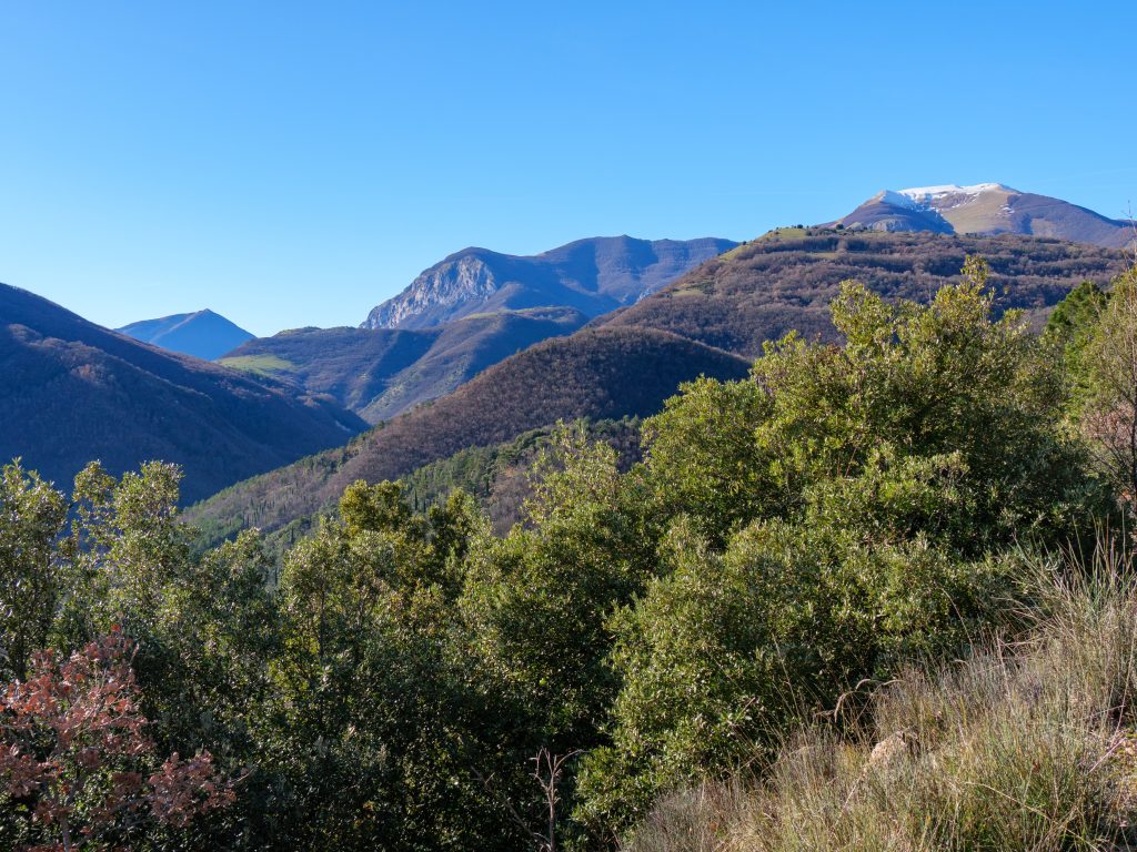
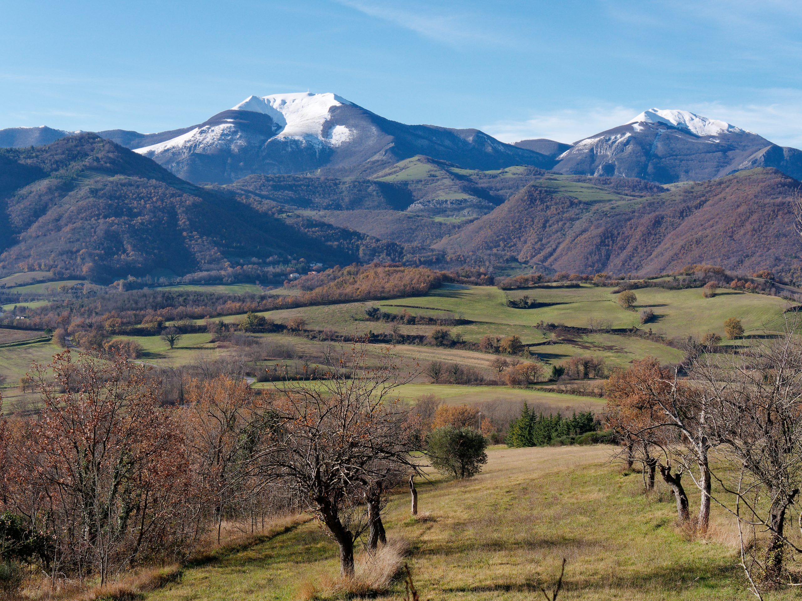
We start uphill, until we reach the crossroads with the road coming from Serra S. Abbondio. Along the way, on the left, the view is open towards the entire ridge that from Monte della Strega reaches up to Monte Nerone. Particularly impressive are Monte Catria and Monte Acuto, higher and closer.
Continue straight to arrive on asphalt under the small village of Montevecchietto, until reaching the village of Montevecchio, which is preceded by a lush private garden.
A short climb leads to the square in front of the little church of S. Maria in Nives, unfortunately closed. From the panoramic terrace you can enjoy a very wide view. Use the photograph on the railing to help you identify the individual peaks and discover their names.
Continue slightly uphill in a northerly direction to pass the last houses and continue on a very pleasant forest road, almost perfectly flat, which below, between the treetops, allows you to glimpse Frontone and the road that leads to Pergola. A short climb and a slight descent go around an old cemetery to reach the notable ruins of Montajate Castle. Continue for a short stretch towards the old village. It is a single row of sandstone houses, all renovated, with a small church where mass was said until 1970. I believe that no more than two or three families live there now.
The return road is downhill for a long stretch and is easy. A sheepdog might come near, but don't worry, it's harmless. On a dirt road downhill you proceed easily in a southerly direction, until you reach a small road that leads to a house that you see on the left. Here you are very close to the asphalt road that you already took on the way there. This allows you, if you want, to divide the figure 8-shaped itinerary into two rings of about 6 km, to be done on different days, one dedicated to Montevecchio and the other to Montajate.
The road is dirt, but easy and not too muddy even after some rain. A climb develops alongside a large field, a rarity in these areas of rugged hills, with the usual backdrop of the peaks of the Apennine ridge, beautiful both in winter, with snow, and in summer, with the bright green of the beech forests.
The final stretch is a lively descent, quickly leading to the village of Coldorso and then almost to the provincial road. Just before taking it, turn right to enjoy a final short stretch free of cars that leads to the starting point.
Notable places
Download and Print
In “Other Settings” adjust the “scale” to have the route map on a single page. The value 80 should work