Here is the route
What you will see
At a glance
Up and down
Description
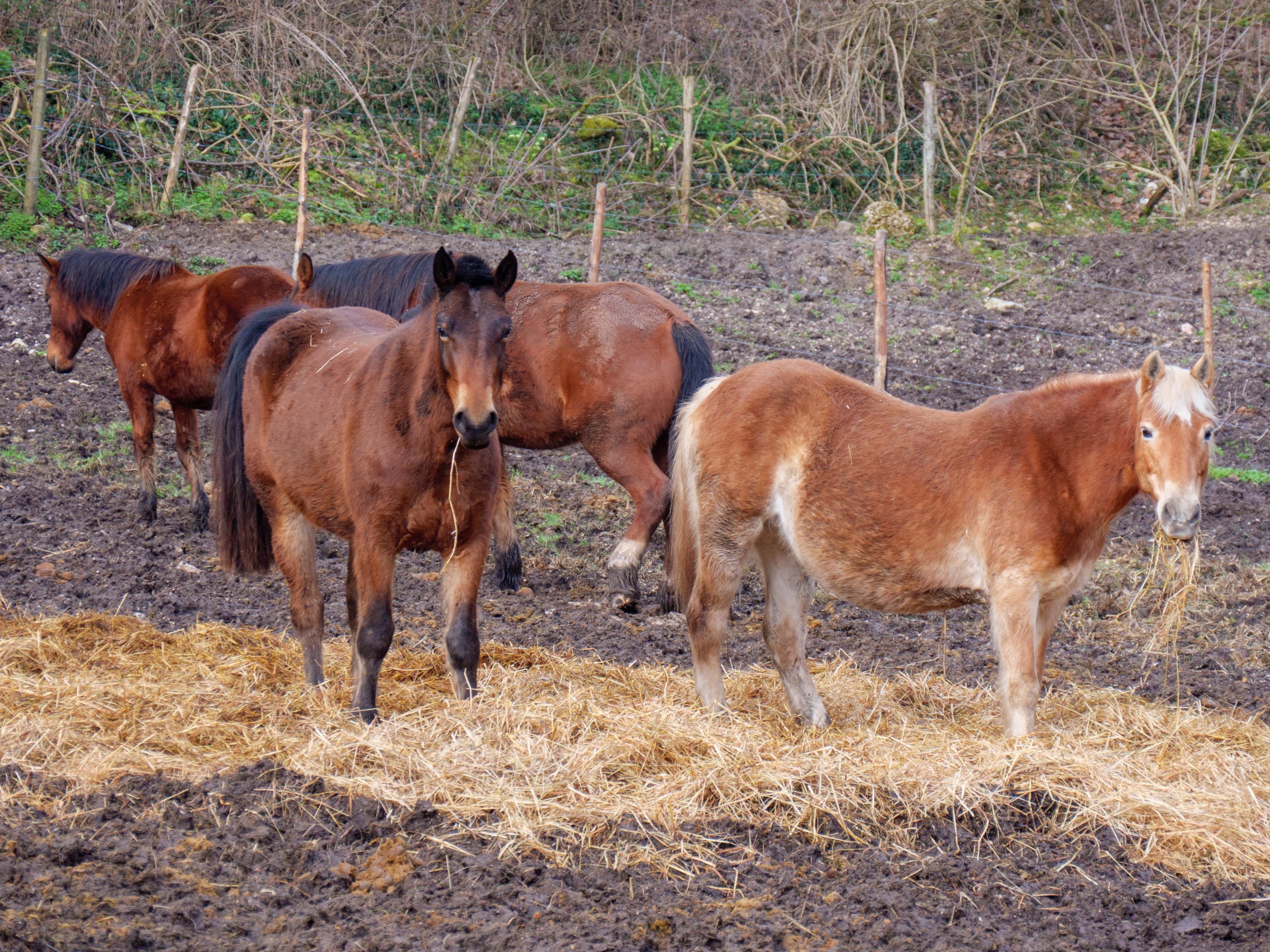
The starting point is Chiaserna, a hamlet of Cantiano. More precisely, at the La Badia Equestrian Center, where the famous horse fair takes place every year. Horse Fair, an unmissable event for horse enthusiasts, which is now being extended to include the promotion of all outdoor activities on the slopes of Mount Catria.
Behind the riding stables, near a stone farmhouse, a dirt road begins that climbs across the northeast slope of Mount Petria. This 1,045-meter-high mountain belongs to the "Serre" system, a long alignment of hills that marks the border between the Marche and Umbria regions and extends for dozens of kilometers.
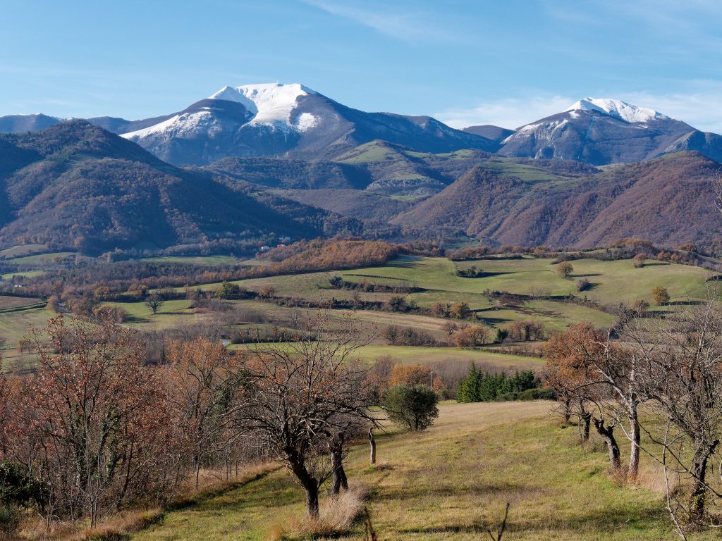
The climb is steady, comfortable, and on excellent terrain. Looking left, you can see Monte Acuto, Monte Catria, and, further down, the hamlet of Chiaserna and the small village of Malecchie, which you'll pass on the way back.
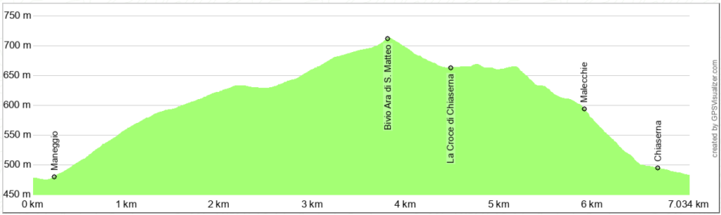
The highest point of the climb is reached at the fork for the Ara di San Maffeo refuge. Continue straight until you reach the Val d'Orbia paved road at the La Croce di Chiaserna pass, where you can refill your water bottle with good quality water.
On the other side of the paved road, the dirt road begins, descending towards Chiaserna, passing through the small village of Malecchie. This road connected Chiaserna to the pass before the current paved road was built.
Malecchie is a cluster of a few houses that extends along the road and is the starting point of the CAI 254 trail, which reaches the summit of Mount Catria via the steep southern ridge.
Once you reach Chiaserna, you return to the starting point, passing the small public gardens and the church of Santa Anastasia, whose existence has been mentioned in documents since 1228.
Notable places
Download and Print
In “Other Settings” adjust the “scale” to have the route map on a single page. The value 80 should work