Here is the route
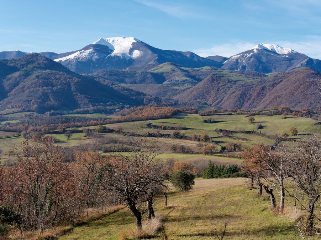
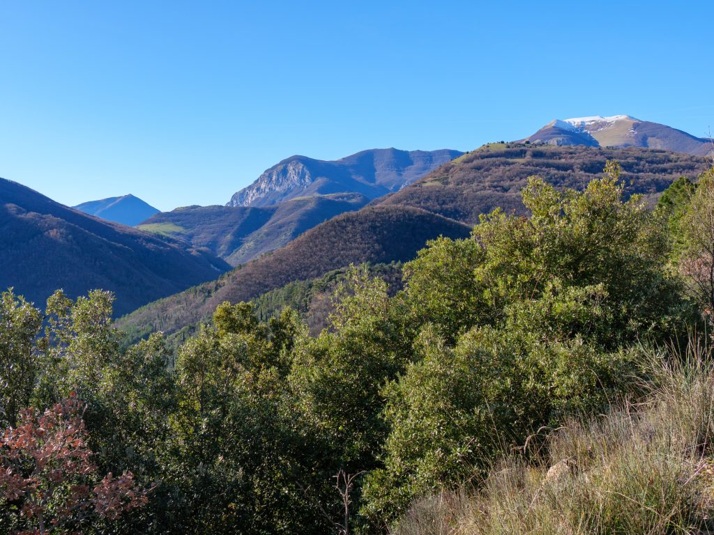
What you will see
At a glance
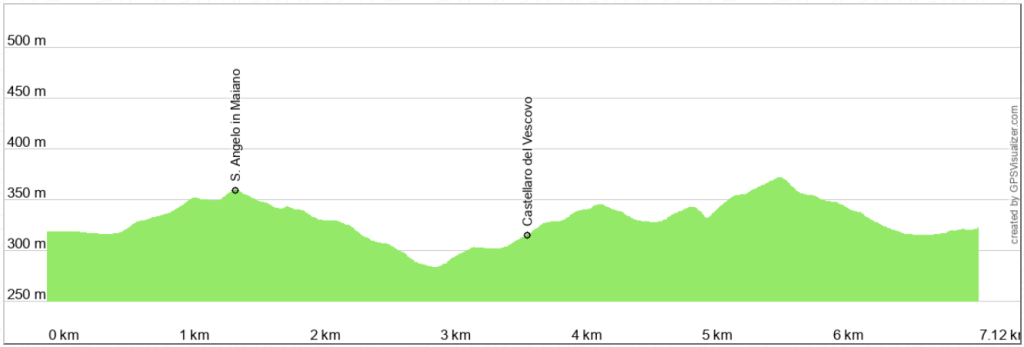
Up and down
Description
The starting point is the former railway toll booth located on the Cagli-Pergola provincial road. Coming from Cagli, it's the first building on the left after the Cagli-Acquaviva-Pergola roundabout. Here is the link to Google maps.
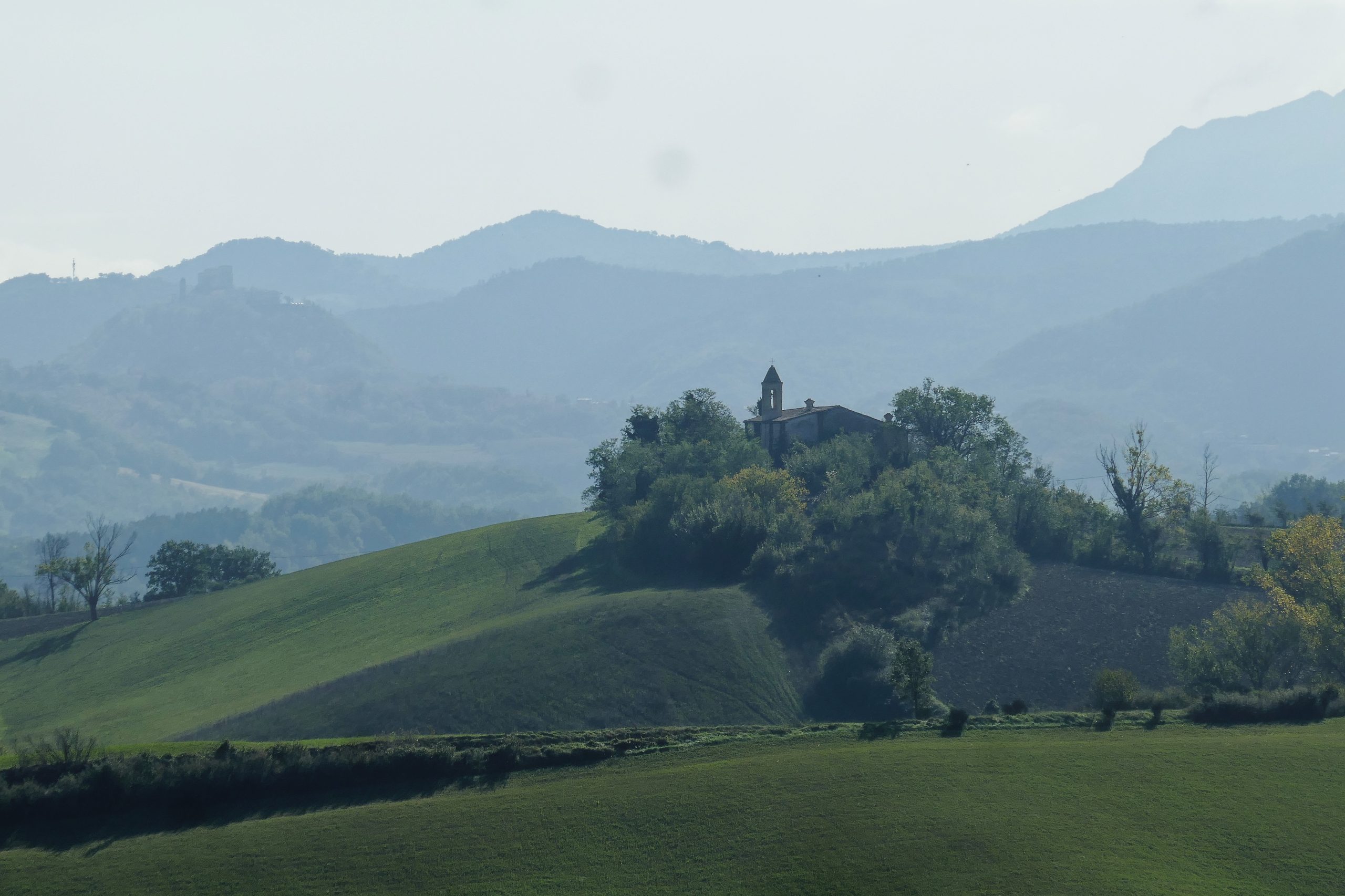
It starts on a dirt road, walking on a long straight road that crosses the western part of the Piana di Maiano and then gently climbs until it reaches the vicinity of the church of S. Angelo in Maiano, which, unfortunately, is now abandoned. From here, it continues downhill until it reaches the vicinity of a house (C. Coltopa), where the path bends in a U on a meadow, to the left, alongside a field.
From here and for a couple of kilometers the ground can be very muddy in case of rain, even not recently. In winter, it is unlikely to be dry. After another U-turn, this time to the right, you walk among tall poplar trees and thick vegetation typical of humid areas, which hides a rich birdlife.
You reach the ruins of an old building (Castellaro del Vescovo), where, finally, you leave the damp dirt road to enter a dirt road where the “Camino dei Cappuccini” also passes, which goes from Fossombrone to Ascoli Piceno. You continue on the dirt road, first uphill, then downhill, to join another dirt road, to be taken on the left. As you go up you might hear dogs barking. Don't worry, they are inside a fence.
After a short descent, you arrive at the straight road that you have already travelled and which will take you to the starting point.
Notable places
Download and Print
In “Other Settings” adjust the “scale” to have the route map on a single page. The value 80 should work