Here is the route
What you will see
At a glance
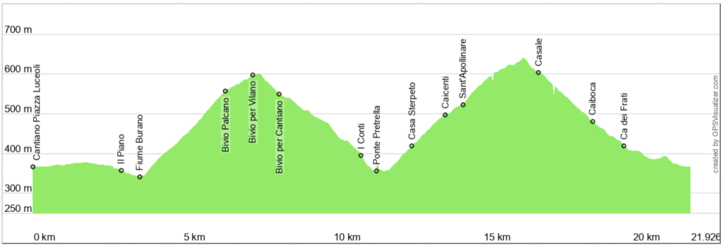
Up and down
Description
Start from the main square of Cantiano, Piazza Luceoli, and head towards Via Flaminia. From here, take a secondary road through fields and woods that reaches Ponte Petrella, on the Torrente Balbano, where you turn right. Pass I Piani, to reach the road that connects Cantiano with Pianello.
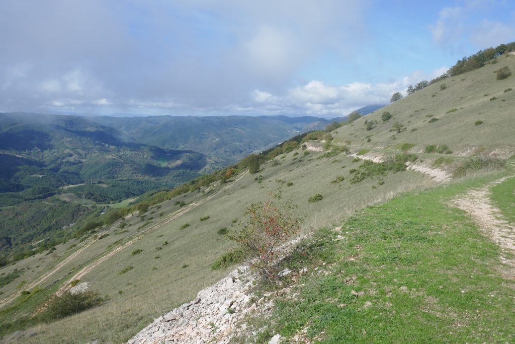
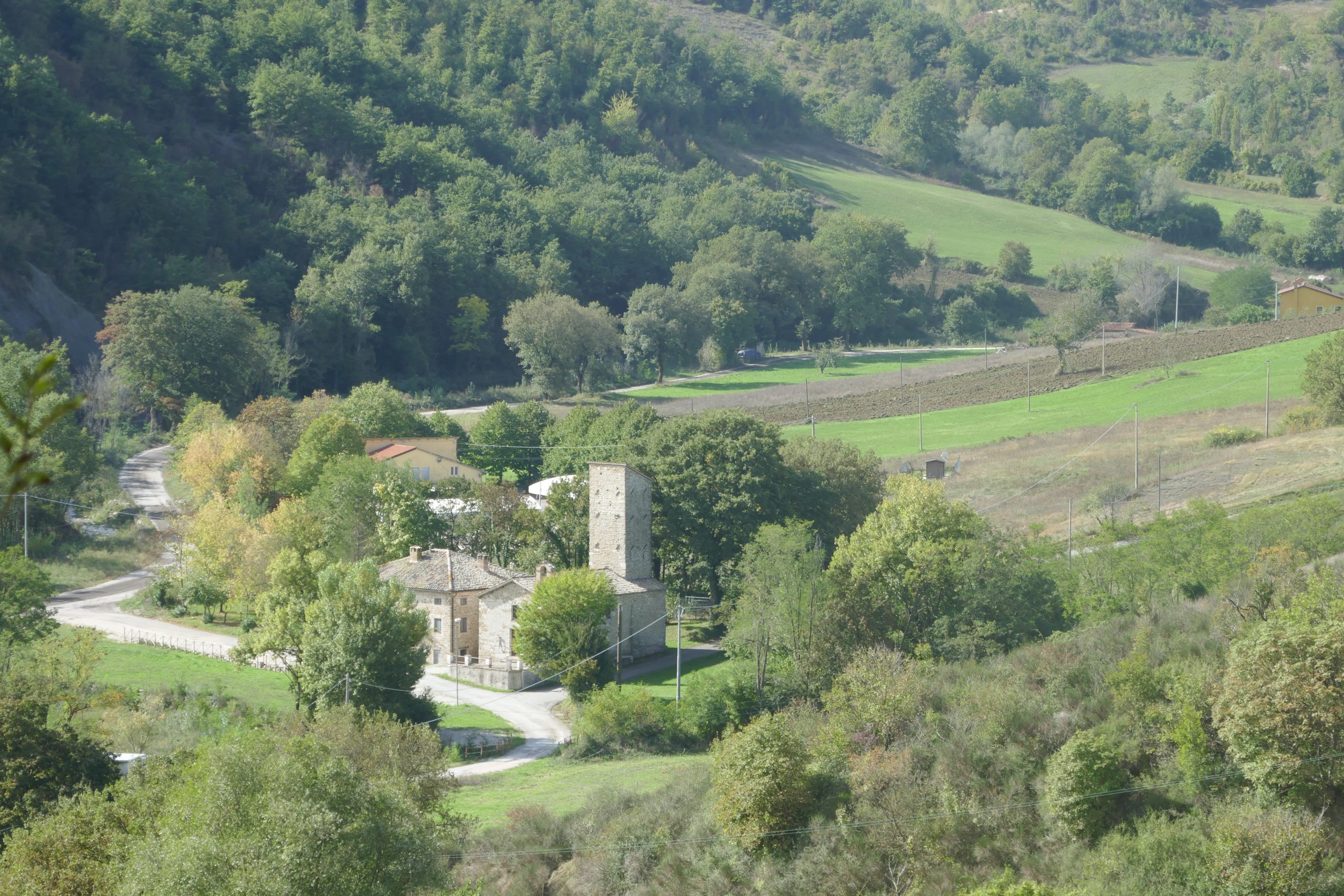
The climb is quite steep. After a couple of hairpin bends, pass the village of Palcano, turn left towards Vilano and then left again, on a dirt road downhill, towards I Conti. Going down, you have a wide view of the wooded Serra di Burano and towards the Parish Church of San Crescentino. It is a Romanesque church built around the year 1000, although some clues link it to the Carolingian era, anticipating its construction by two centuries.
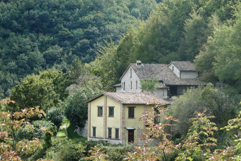
Once you reach Ponte Petrella again, go past it and turn right, first on the plain and then uphill. As you go up, the view opens onto the Monte Petrano with, at the foot, the locality I Conti, which you have recently visited. Go past Sant’Apollinare, now used as a Farmhouse, and continue climbing until the road turns sharply north-east, just before the town of Casale.
From here the route will always be downhill, with wide views both towards the Monte Petrano, which towards the Catria massif. At the end of the descent, cross the bridge over the Burano River to take the gothic Via Borgo San Marco, which will lead you back to Piazza Luceoli
Notable places
Download and Print
In “Other Settings” adjust the “scale” to have the route map on a single page. The value 80 should work