Here is the route
What you will see
At a glance
Up and down
Description
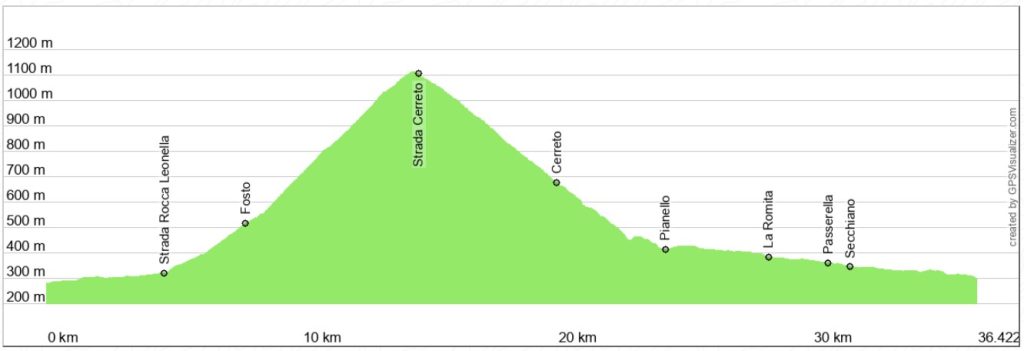
The starting point is Cagli, at the beginning of the provincial road to Pianello-Pietralunga. You can also start from Secchiano, saving about 8 km each way. Alternatively, you can start from Pianello, in which case you'll need to add about 4 km of paved road to the indicated distance.
From Cagli, follow the Bosso River valley to Secchiano, where you turn right onto the Rocca Leonella road that leads to Piobbico. When you reach the small village of Fosto, turn left, uphill, onto a paved road that soon becomes a gravel road.
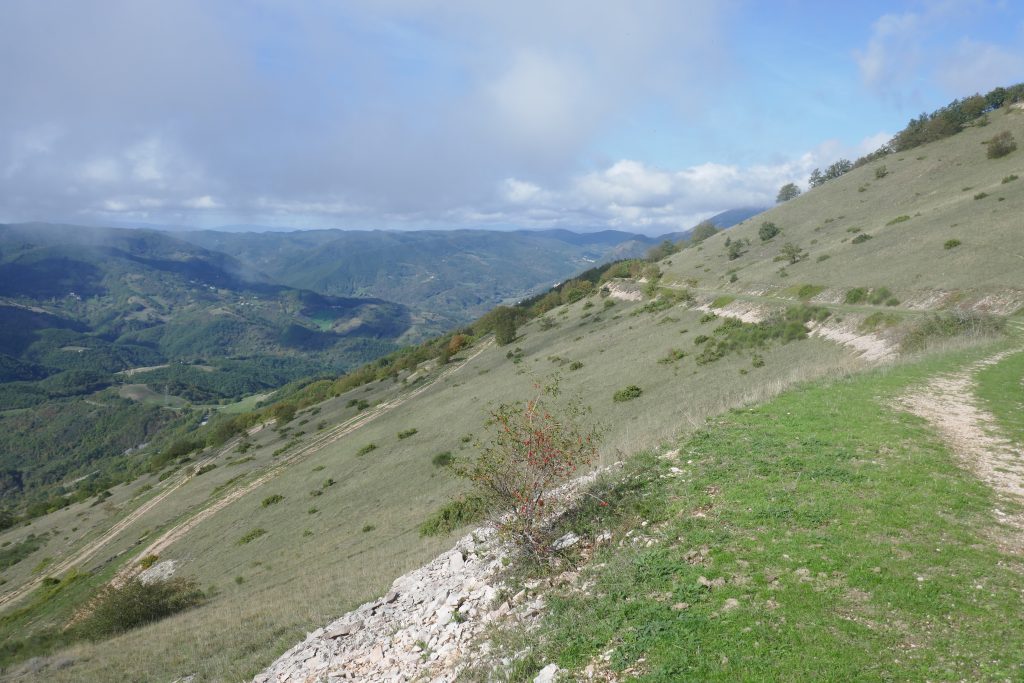
The initial stretch of the long climb is the steepest and winds through the wooded Fosso della Vena valley. The forest on either side provides almost constant shade. Where the road emerges from the forest, the gradient becomes less steep and the view opens up to the north (Furlo Gorge) and west (Monte Petrano and Monte Acuto). Monte Catria and Monte Nerone, however, remain hidden.
At the first fork, turn left onto the road that descends to Cerreto and Pianello. Perfectly paved for the 2009 Giro d'Italia, it is now in poor condition and requires some caution due to the loose gravel. The descent continues with a series of hairpin bends on the grassy slope, where horses, sometimes in large groups, are frequently seen grazing.
You reach the village of Cerreto, now almost uninhabited, but stretching for over a kilometer. At the junction for Pianello-Pieia, turn left towards Pianello, following the narrow valley of the Giordano River. The road is narrow and winding, with steep sections leading down to the stream. Proceed with caution, especially on the very narrow final stretch near the first houses of Pianello.
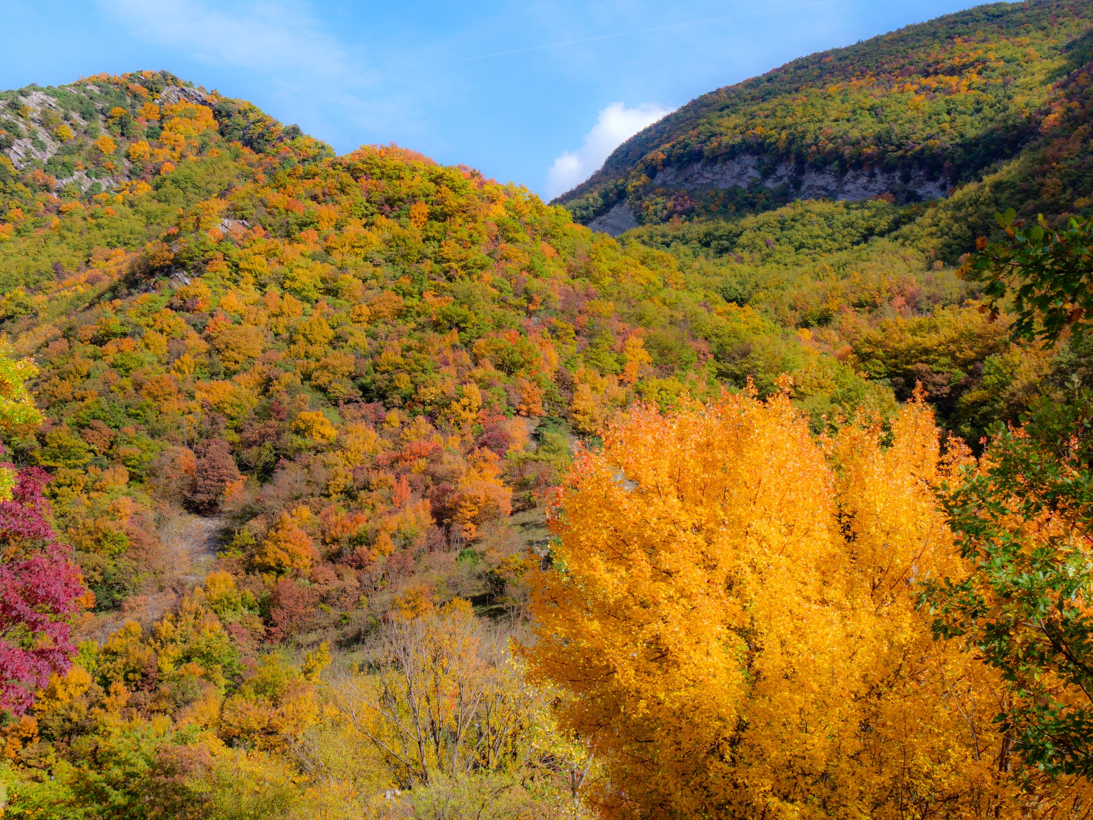
Once you reach the bottom of the descent and the village of Pianello, take the provincial road back to Secchiano and then to Cagli. The Bosso River gorge you cross is fascinating in every season, both for the constant presence of the water and for the colors of the dense vegetation, which transform from bright green to vibrant splashes of red, orange, yellow, and purple in October and November. In April, noteworthy are the early blooms of the Judas tree (Cercis siliquastrum), particularly common in this valley and much rarer elsewhere.
Notable places
Download and Print
In “Other Settings” adjust the “scale” to have the route map on a single page. The value 80 should work