Here is the route
What you will see
At a glance
Up and down
Description
For those coming from Cagli-Frontone, the starting point is the start of the dirt road, located about 30 meters before the intersection with the roads leading to Fonte Avellana, Pergola, and Sassoferrato. Parking is easy on Via Verdi, the road leading to the center of Serra Sant'Abbondio. There's also a café nearby where you can have breakfast.
The road is indicated as Via del Serrone and there are also signs for the VP path “La Via delle tre Pietre”, which also leads to the Fonte della Cingualdese.
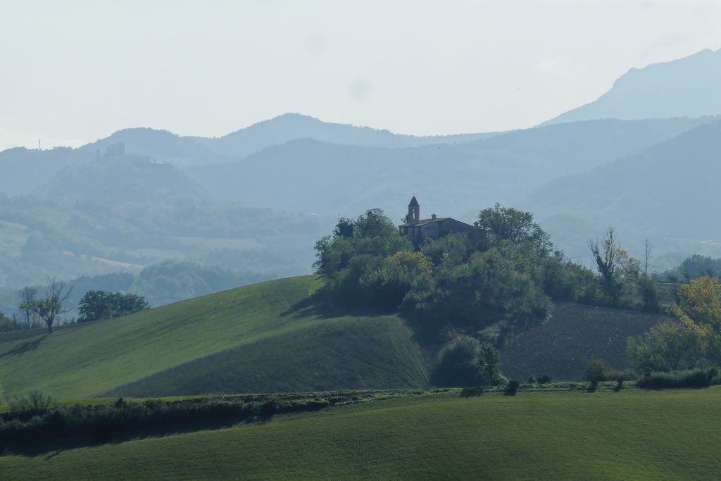
The first stretch is a fairly steep climb. To your left, the view opens onto the village of Serra Sant'Abbondio and, further away, the two peaks of Monte Romano and Monte Rotondo, behind which Pergola lies hidden.
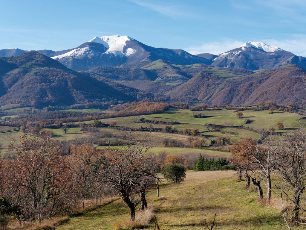
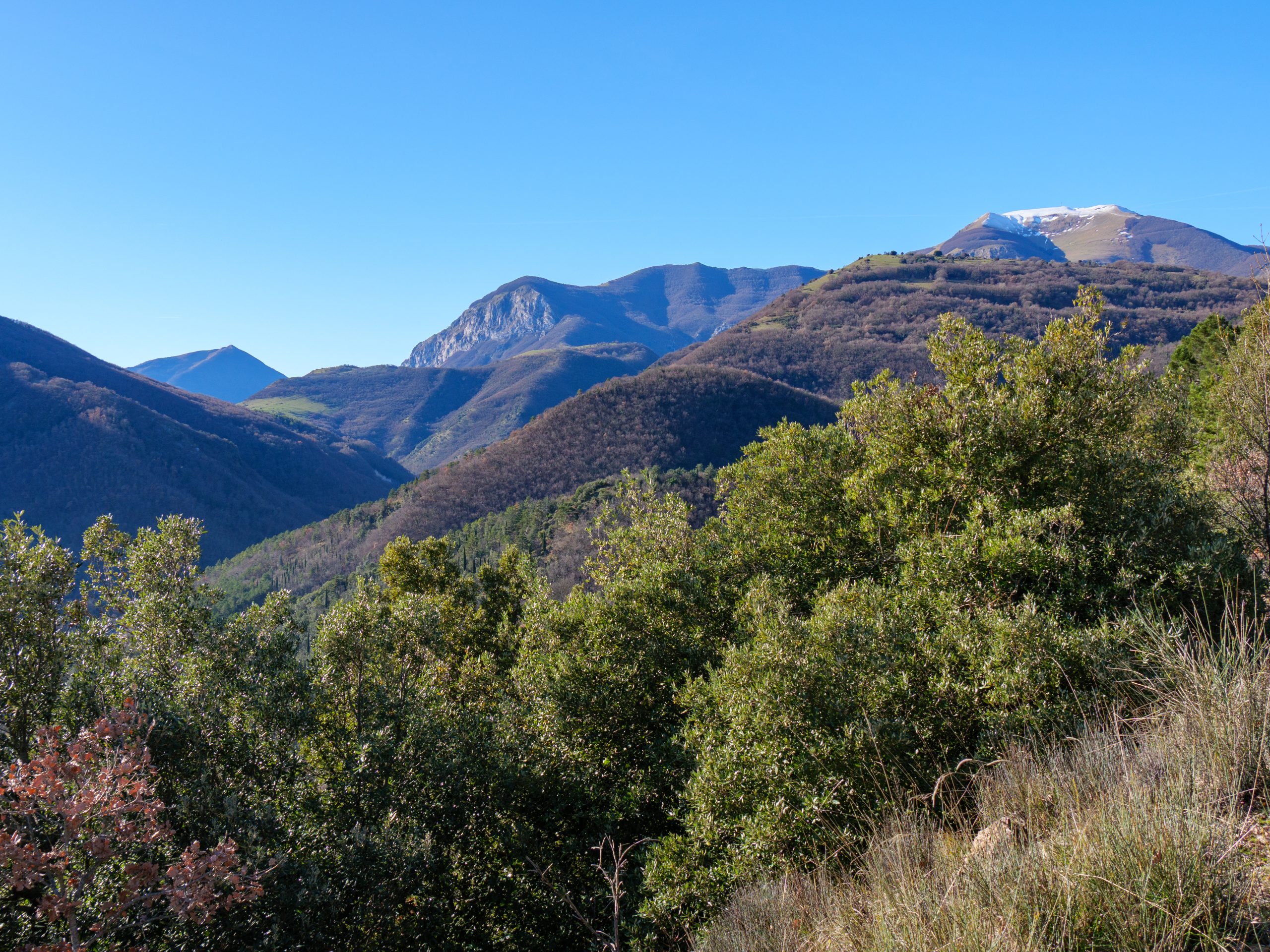
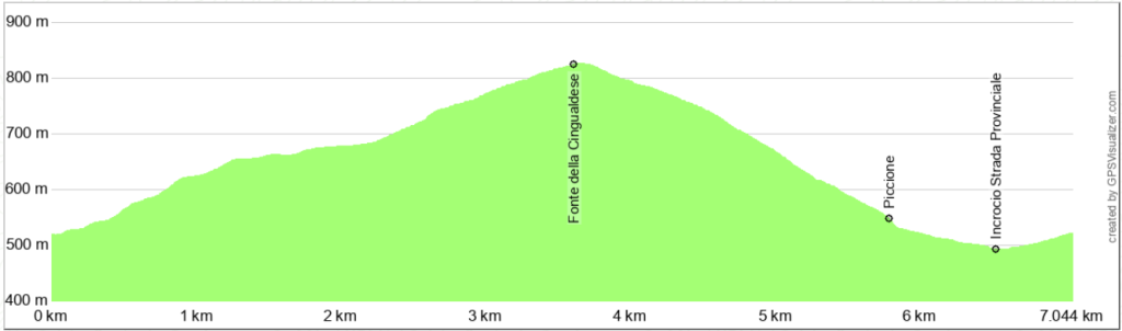
Once you reach a barrier, the climb becomes less steep, and the view opens onto Monte Catria and the steep rocky section of Corno del Catria. The trail follows the southern slope of the "La Crocetta" peak (786 m above sea level). A final climb takes you near the Fonte della Cingualdese and the refuge of the same name.
Once you begin the descent, after the first left bend, take a grassy dirt road on the right, which follows the route of trail 273 (unmarked). The descent is easy and passes along the western slope of Monte Tordo (839 m above sea level).
Along the descent, there are only two places to pay attention: at the first fork, leave trail 273 and turn left; further down, near the village of Piccione, go through the gate on the right. Along the way, you'll come across a beautiful spring set into the rock.
You'll soon reach the small village of Piccione, almost completely uninhabited but still well-maintained. Descend along the village's only road and continue left on the paved road that connects with the Frontone-Serra S. Abbondio provincial road. At the intersection, turn right and reach the starting point in just 500 meters. The road has little traffic, but we recommend following the left side, which has a wider and safer shoulder.
Notable places
Download and Print
In “Other Settings” adjust the “scale” to have the route map on a single page. The value 80 should work