Here is the route
What you will see
At a glance
Up and down
Description
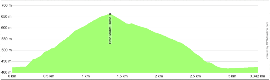
Once you reach Frontone, park your car at the beginning of Via Valbona, near the road leading to Foce and Fonte Avellana. Walk toward Foce and, after passing the municipal library, turn left, and then immediately left again. This is not a dirt road, but a fairly wide mule track with a good surface, but very steep.
You won't have to leave the mule track until you reach the point where the return route begins. This section runs entirely along the eastern slope of the hill that borders the Cinisco Valley. To the left, there's nothing but woods; to the right, down below, is the valley and the small village of Foce; and ahead, slightly to the right, is Monte Acuto.
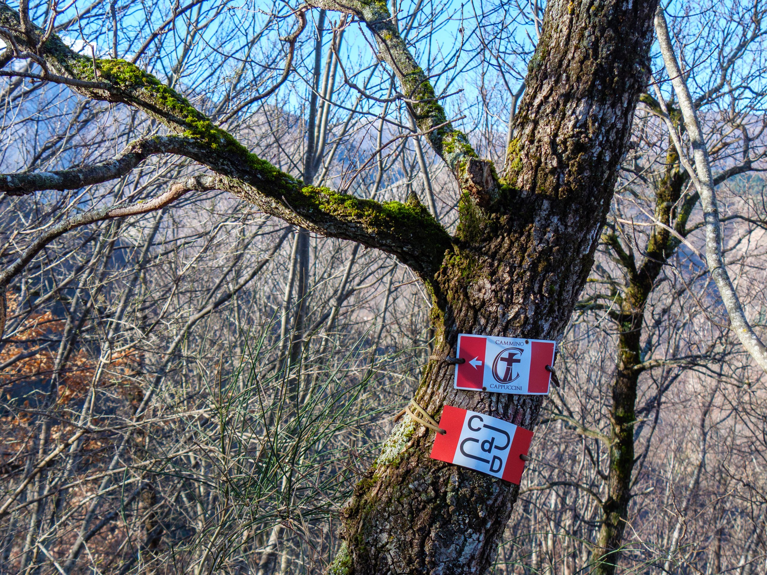
The climb is steep and only occasionally offers some relief. Take comfort in the fact that the stretch you're walking is also part of the Cammino del Duca and the Cammino dei Cappuccini. Those who frequent the Camminos typically carry backpacks weighing at least 15-20 kg. I hope you're packing light.
Using the GPS track, which you can download on this page, locate the point where you should turn left to begin the long descent back to Frontone. If you're up for a bit more effort, you can continue uphill until you reach the dirt road to Monte Roma; in this case, you'll have to return the same way.
You're now on trail 254, which runs from Frontone to the Forchetta Pass, near Fonte Avellana. The return journey is easy, always downhill on a dirt road. You'll encounter a few forks, but using the GPS track, there's no difficulty finding your way.
The final section of the descent is very steep and has a concrete surface that can be slippery on wet days. After passing the few houses in Chiusure, turn left onto Via Valbona until you reach the starting point.
Notable places
Download and Print
In “Other Settings” adjust the “scale” to have the route map on a single page. The value 80 should work