Here is the route
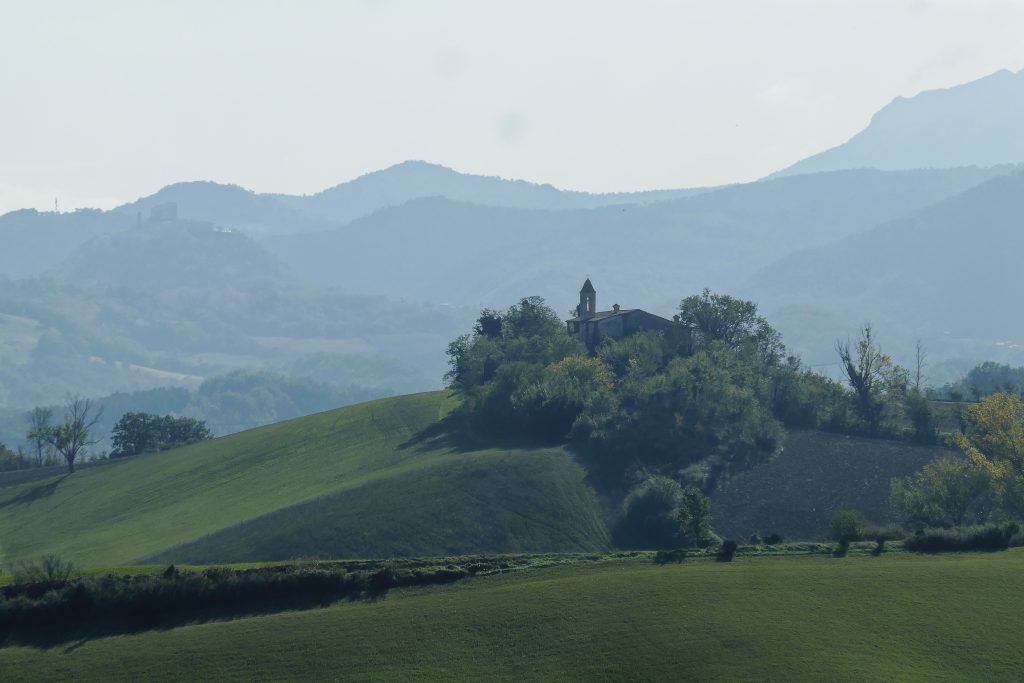
What you will see
At a glance
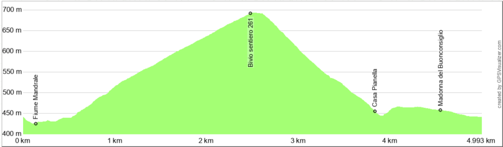
Up and down
Description
Coming from Cagli, park your car at the intersection of Provincial Road 42 (Acquaviva – Frontone) and Via Montebella. The intersection is at a right curve shortly after the village of Buonconsiglio. On the opposite side of the road, you'll find the access to a grassy path that descends to the Mandrale River, which you can easily cross on the gravel and scree bed. Unless there's prolonged and heavy rain, the crossing is easy: the Mandrale is actually a modest stream, almost completely dry in the summer.
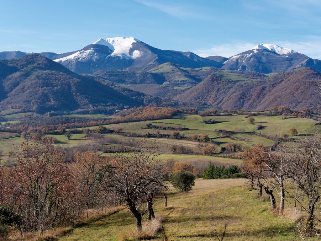
From here, the climb begins, becoming more steep as you reach the first hairpin bends. The route now follows a dirt track overlooking the Cinisco Valley and crossing the western slope of Mount Spicchio. As you walk, you'll enjoy beautiful views of the valley below and Mount Catria, right in front of you.
At about 700 meters, turn right, following trail 261 that descends from Mount Schioppettino. The vegetation changes completely and is dominated by black pine, abundantly used in reforestation projects in the 1970s and 1980s. The trail turns sharply north, continuing to circumnavigate Mount Spicchio, now on its western slope.
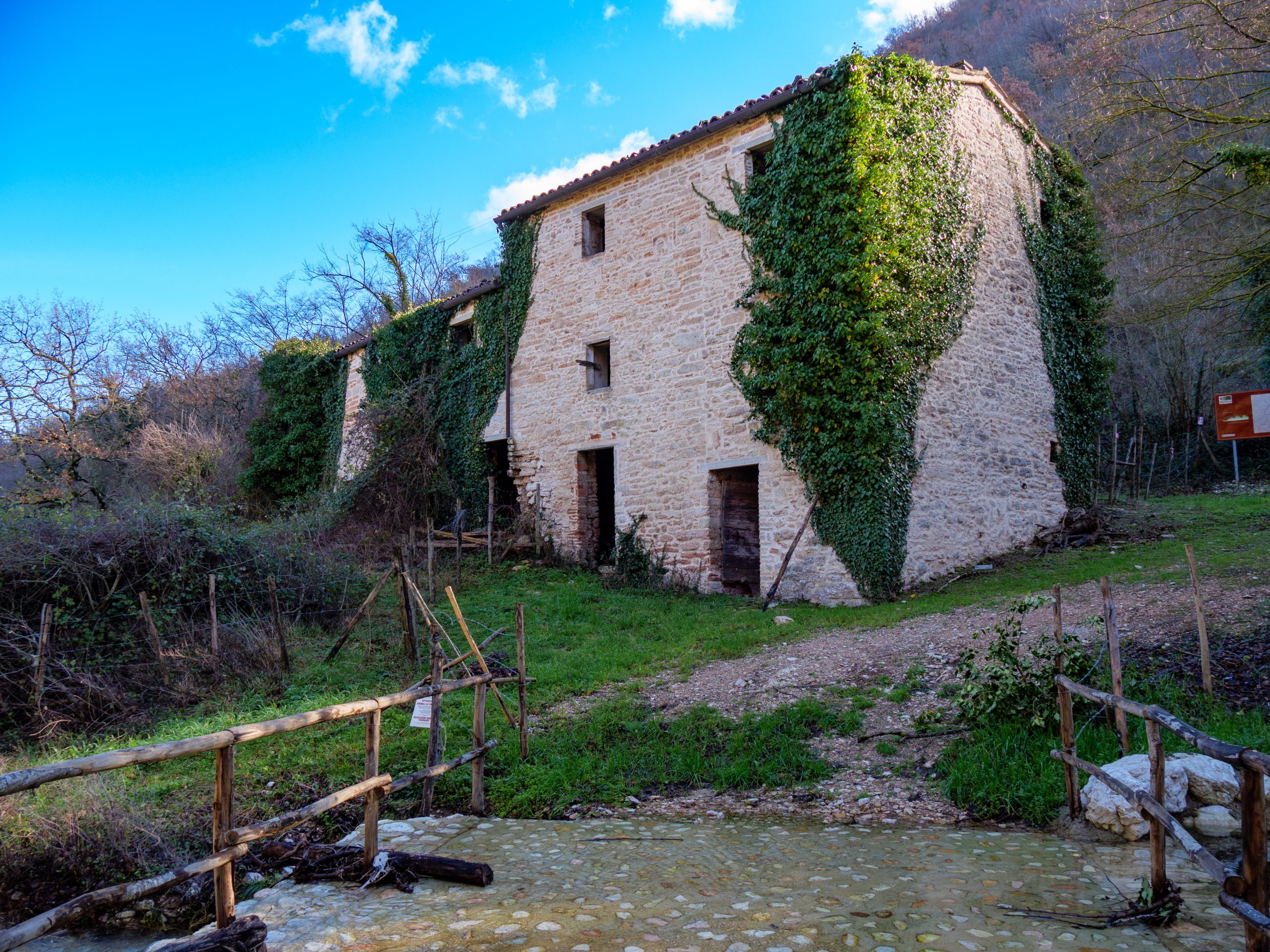
You're now descending again toward the Mandrale River valley, which you cross over a small bridge near Casa Pianella, still imposing but uninhabited and overgrown with ivy. After a short climb, you reach the paved road that descends from the Valpiana refuge. The road passes a few buildings and returns to the village of Buonconsiglio, right in front of the little church of the Madonna del Buon Consiglio. Turning right downhill, you return to the starting point.
Notable places
Download and Print
In “Other Settings” adjust the “scale” to have the route map on a single page. The value 80 should work