
Here is the route
What you will see
At a glance
Up and down
Description
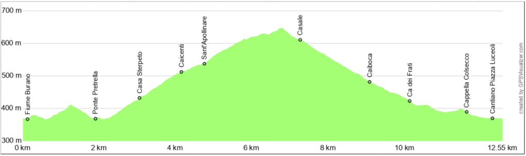
The route begins at the Cantiano market square, where parking is available. From here, cross the Via Flaminia and the Burano River to take Via Colnovello, which initially heads toward Pontedazzo, then turns left south.
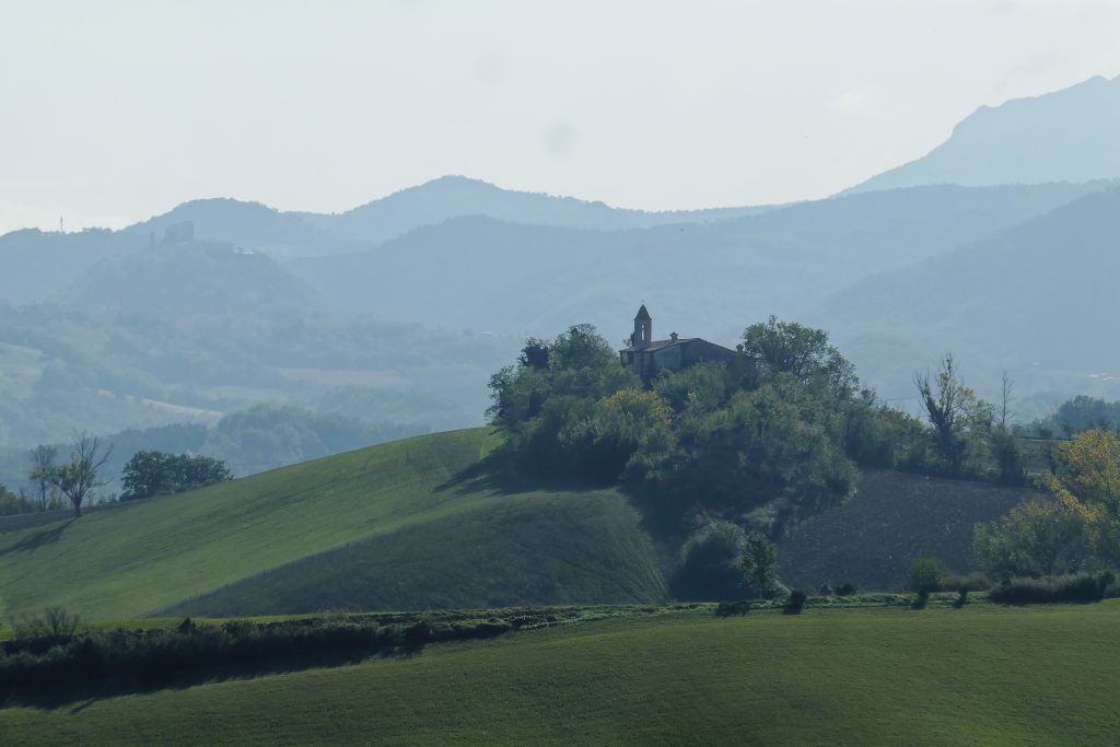
Once past Ponte Petrella, the road begins to climb at a moderate gradient, offering a beautiful view towards the small village of I Conti and towards the Burano valley, squeezed between Monte Petrano, on the left (west), and Monte Tenetra, on the right (east).
After a couple of hairpin bends, you pass a house (Casa Sterpeto) and the road begins to be flanked by woods. The climb is pleasant and never challenging, taking you past two beautiful, well-renovated houses in the Sant'Apollinare area. Further uphill, the outline of the small village of Casale appears on the left, which you will soon reach.
With a wide curve, the road bends to the left and begins to descend, shortly reaching the few houses of Casale, where the relic of a Benelli motorbike from many years ago stands proudly on display.
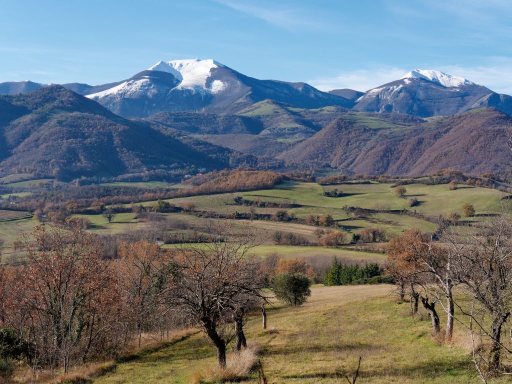
Continuing down, the Catria massif dominates the landscape, with its three peaks: Tenetra, Acuto, and Catria. The descent ends on the Flaminia road, after reaching and passing the chapel of "Christ Tied to the Column" in Colsecco, inside which is a plaque commemorating 74 hostages saved from Nazi reprisals in July 1944.
Once you reach Strada Flaminia, cross the bridge over the Burano River, then turn left onto Via Borgo San Marco, which initially runs alongside the river and then, squeezed between ancient buildings, leads to the beautiful Piazza Luceoli, Cantiano's main square.
Notable places
Download and Print
In “Other Settings” adjust the “scale” to have the route map on a single page. The value 80 should work