Here is the route
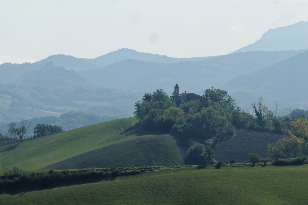
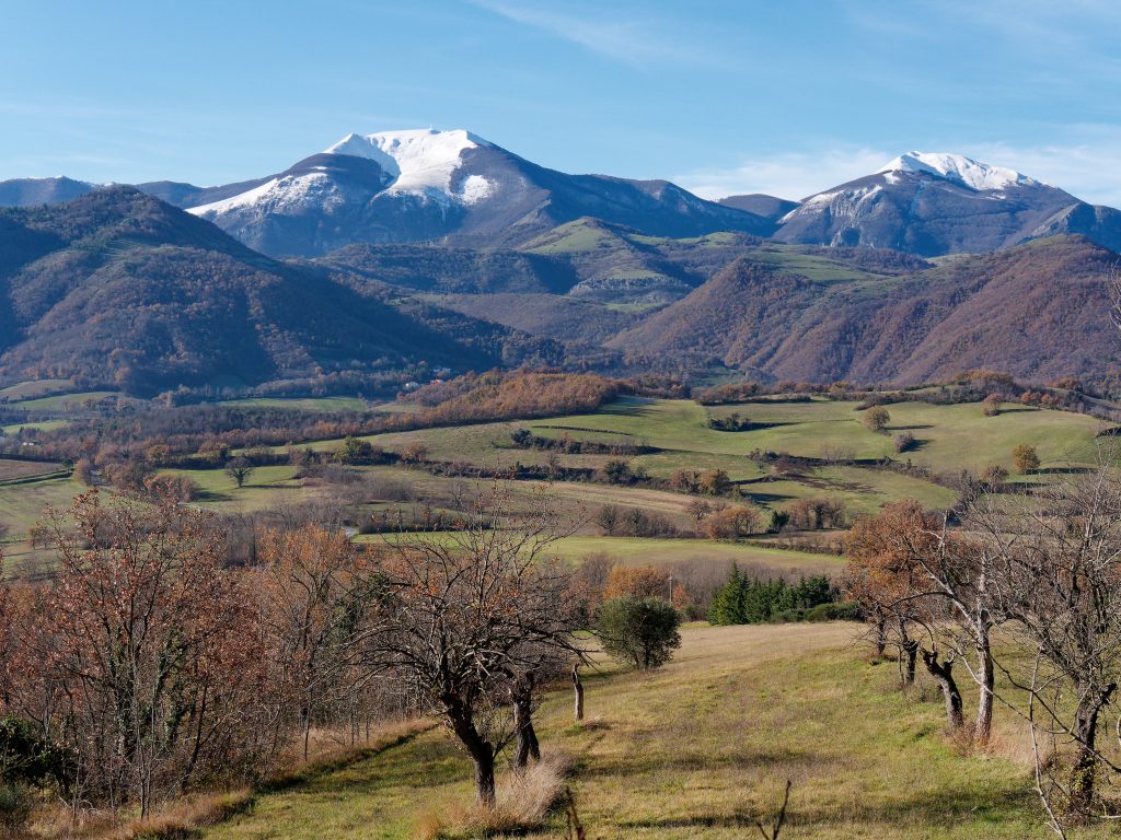
What you will see
At a glance
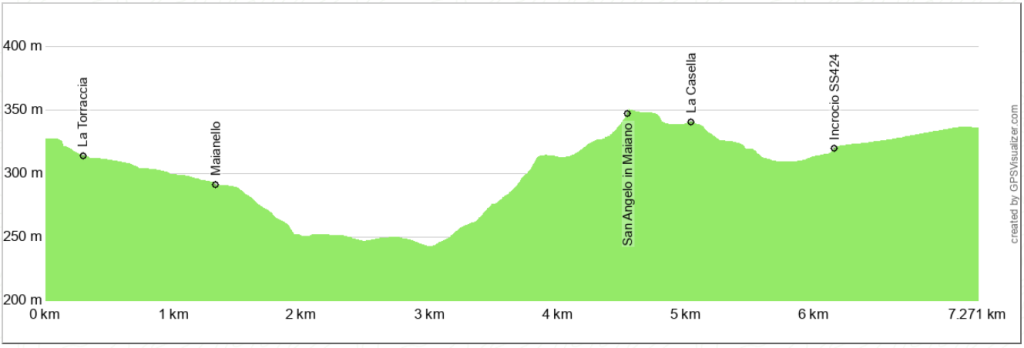
Up and down
Description
The starting point is at the end of the long straight road from Cagli towards Pergola, where on the left, high up among the trees, you can clearly see La Torraccia, a historic fortified rural villa with a tower dating back to the 15th century. There's no real parking lot, but there's enough space for a couple of cars. Here is the link to Google maps.
The route begins on a dirt road, following a long, straight stretch that crosses the entire Maiano plain, descending gently from south to north. The descent then becomes steeper, and before reaching the bridge over the Fosso Screbia, turn left onto a flat dirt road.
This is a wetland, and the ground can be very muddy, even in summer. Where the climb begins, you'll find a man-made lake, where fishing was possible until a few years ago.
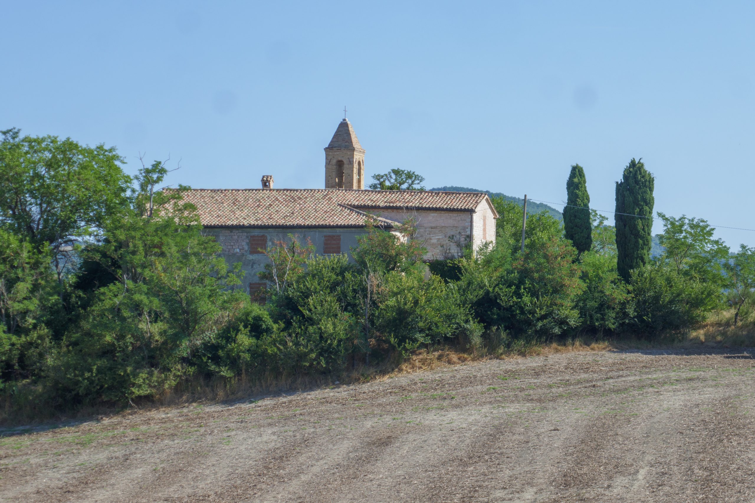
The highest point is reached near the sadly abandoned Parish Church of Sant'Angelo in Maiano. From here, continue downhill southward until you reach and pass a house called "La casella" on your left. Continue until you reach the provincial road connecting Cagli to Pergola, near a building that, before World War II, was a railway toll booth on the line to Pergola. The tracks have been torn up, and the route is difficult to recognize.
Now just turn left onto the provincial road to reach the starting point in about a kilometre.
Notable places
Download and Print
In “Other Settings” adjust the “scale” to have the route map on a single page. The value 80 should work