Here is the route
What you will see
At a glance
Up and down
Description
To reach the starting point by car from Cagli, head towards Pergola. At the end of the long straight road that runs alongside the Piana di Maiano, turn left towards Molleone – Tarugo. Park your car at the first downhill section where you'll find a dirt road on the left. There's no real parking lot, but there's enough space for a couple of cars. Here is the link to Google maps.
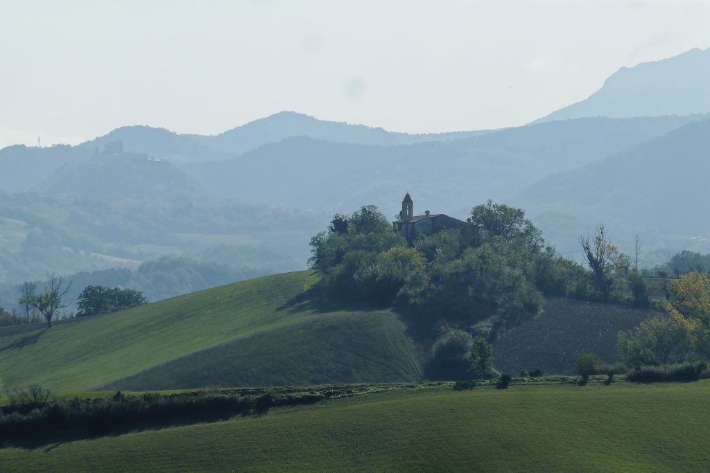
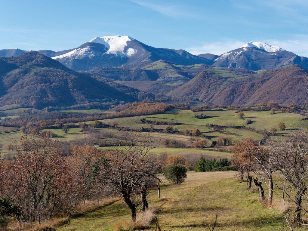
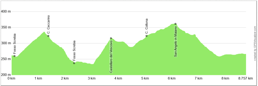
We continue downhill on foot, crossing a bridge over the Fosso Screbia near an old mill. From here, we continue uphill, with an increasingly panoramic view of the ridge that extends from Monte Nerone to Monte Catria.
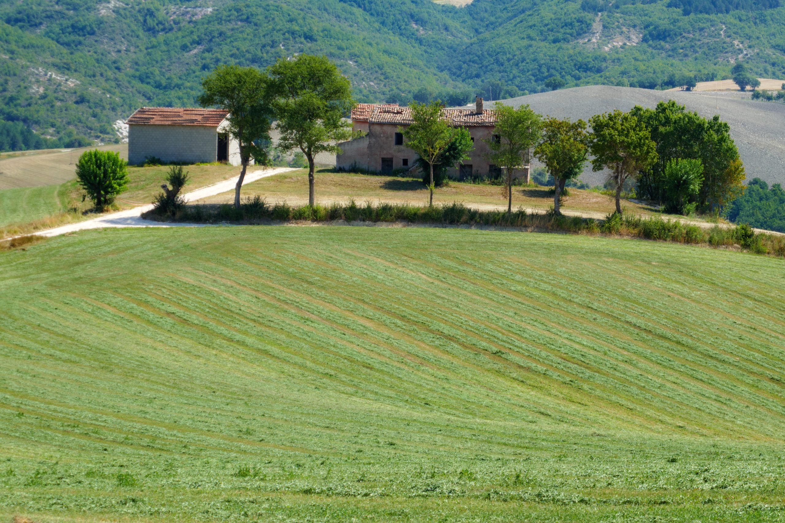
At the second bend to the right, you'll find a dirt road that ends at the entrance to the Molleone farmhouse. Now, walk along the edge of the fields, with the farmhouse on your right, until you reach the Fosso Screbia stream and cross it. In summer, there are only a few centimeters of water, but hiking boots are recommended during rainier periods.
Continue straight and then turn left onto a rather steep climb that leads to the ruins of Castellaro del Vescovo, a large farmhouse. Here, turn left and continue under the shelter of tree hedges until you reach a crossroads, where you turn left again near the Parish Church of Sant'Angelo in Maiano.
Now continue downhill for a long stretch, reaching an area rich in water and a small lake that once teemed with carp. At the intersection with the dirt road, turn right and return to the starting point. In this last stretch, the trail can be very muddy, making it almost impossible not to get your shoes dirty.
Notable places
Download and Print
In “Other Settings” adjust the “scale” to have the route map on a single page. The value 80 should work