Here is the route
What you will see
At a glance
Up and down
Description
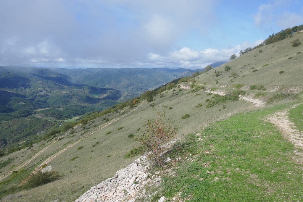
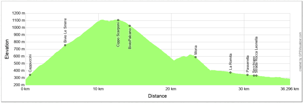
We start from Cagli, near Porta Massara, where the asphalt road to Monte Petrano begins. The climb passes under the convent of the Capuchin friars and is steep for the first 2 km, then becomes easier. In this section the view is open towards the Bosso valley and Monte di Santa Maria. The climb becomes steep again between the third and fourth kilometer, where, after a quarry, it enters the woods.
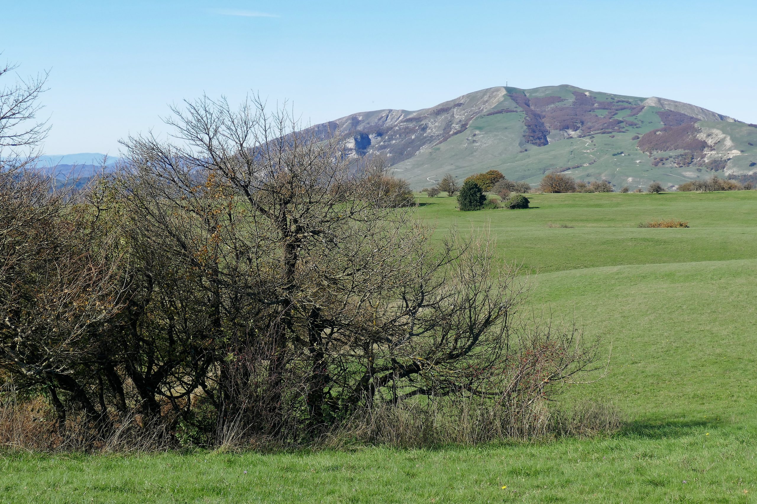
At about the fifth kilometer, you reach some large meadows with a series of bends with a gentle slope. Here the dominant element of the landscape is the outline of Monte Nerone. The last bend is marked by a large beech tree. You pass next to a bar-restaurant (closed in winter) to reach a small campsite at the highest point of the route.
If you want, you can turn right onto a dirt road and reach the large meadows dotted with beech trees that characterize the large plateau on the summit of Mount Petrano. The trees are small in size, because they are tormented by the wind, which can blow impetuously here.
Go back and continue on the asphalt road, passing by the memorial stone dedicated to the cyclist Michele Scarponi and to all cyclists who have been victims of road accidents. The road, now downhill, passes to the left of a ruin and continues along the eastern side of Monte Petrano, with a beautiful view of Monte Tenetra. Continuing, where on the left you can see the sharp profile of Roccaccia, the descent becomes steeper and the asphalt disappears, replaced by a gravel that can be treacherous: proceed with caution.
The long descent takes place entirely between the southern slope of Monte Petrano and the crest that reaches Roccaccia. A short climb takes you to the road that connects Pianello with Cantiano.
Here you turn right, onto a pleasant asphalt road, free of traffic, that reaches Moria. On your left you can observe the wooded and very green southern slope of the Serra di Burano. After Moria, the descent, with a series of hairpin bends, takes you to the provincial road Cagli-Pianello. Turn right and continue without interruptions to arrive, after about 11 km, at the starting point.
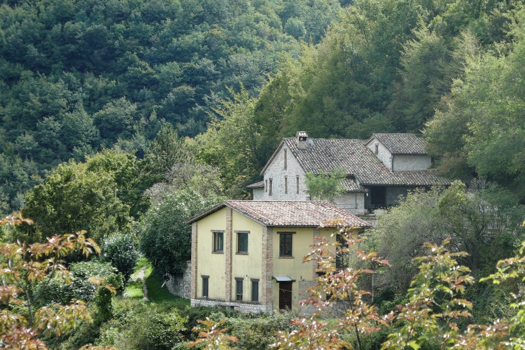
Enjoy the magnificent landscape characterized by the waters of the Bosso River that runs alongside the road, and the slopes of Monte Petrano and the Monte Nerone massif. Along the road, cross the village of Secchiano, the only inhabited area between Cagli and Pianello.
Notable places
Download and Print
In “Other Settings” adjust the “scale” to have the route map on a single page. The value 80 should work