Walks

WLK14 Monte Petria

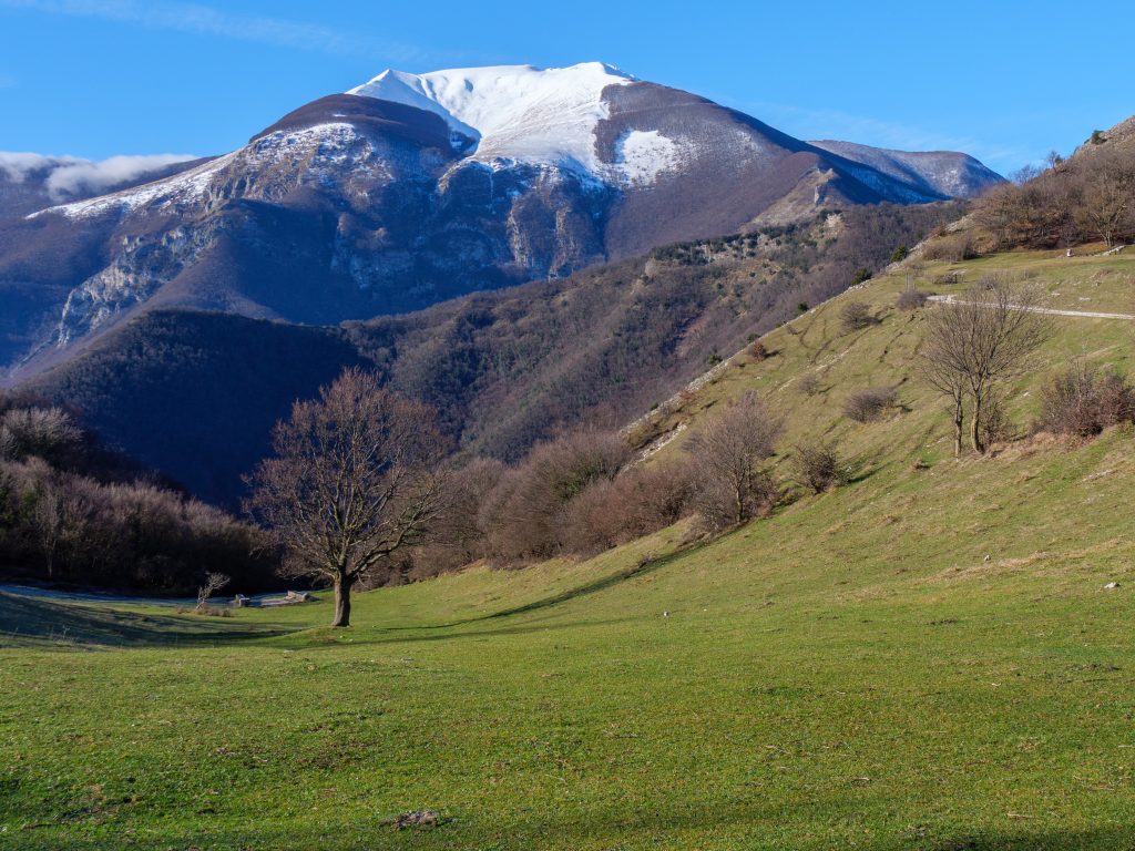
A very interesting and varied route that circumnavigates Monte Petria, a hill about 1,000 meters above Chiaserna di Cantiano, directly opposite the Catria Massif. It follows a dirt road, but also includes about three kilometers of easy hiking trails. This area is rarely visited by tourists and hikers, known only to locals. It's an excellent summer route, as it's flanked by forest for long stretches. The route offers spectacular views in all directions.

WLK14 Monte Petria Read Post »

Walks
WLK13 Malecchie

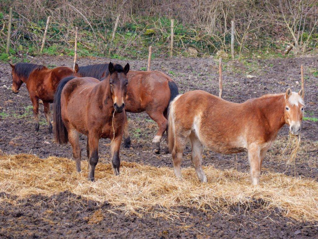
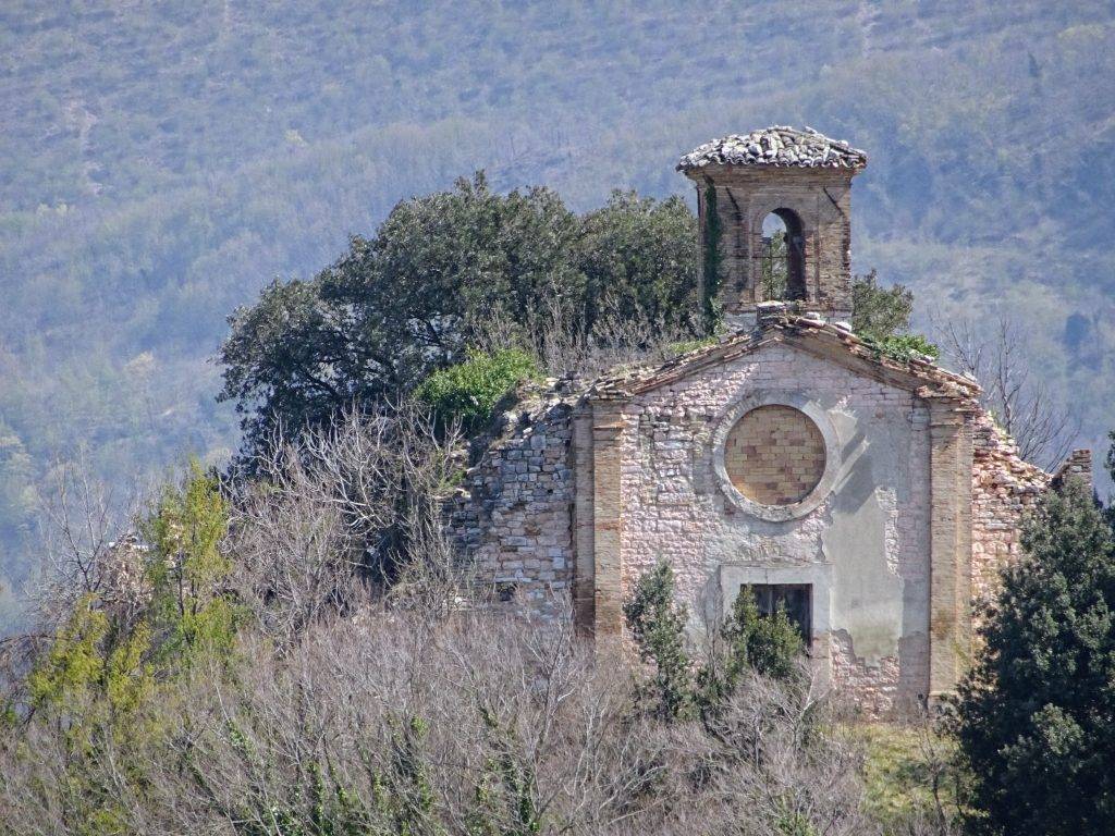
A leisurely circular route that winds through the valley separating the Catria Massif from Mount Petria, its main town being Chiaserna, famous for its historic Horse Fair. The walk follows a forest path, mostly on dirt roads, with spectacular views of the surrounding mountains.

WLK13 Malecchie Read Post »

Walks

WLK12 Il Poggio

A pleasant walk of about 6 km along the slopes of the first hills of the Catria massif, near Cagli. A single climb leads to the highest point, then continues on a flat and downhill path. It passes the villages of Il Poggio, Montione, and Cabaldi, and the ancient parish church of Santo Stefano, now in ruins. Along the way, you can enjoy views of Frontone, the Fosso della Canala, and Mount Campifobio.

WLK12 Il Poggio Read Post »

Walks

WLK11 Paravento – 2

A second route passes through Paravento, this time starting from Calamello. Less than 5 kilometers in total, with short, moderate climbs. An easy walk of just over an hour, but very enjoyable due to the variety of environments: meadows, fields, woods, small towns, and interesting buildings along the way. Not to mention the views of one of the most beautiful stretches of countryside and mountains in the Catria and Nerone area.

WLK11 Paravento – 2 Read Post »

Walks

WLK10 Paravento – 1

The trail's highlight is the charming hamlet of Paravento, famous for its living nativity scene and the site of the great battle of June 1944 between partisan and Nazi-Fascist forces. The walk is easy, with only a few easy climbs. Like all the trails described in these pages, although it doesn't ascend very high, it offers magnificent views of the villages, countryside, and mountains of this stretch of the Apennines.

WLK10 Paravento – 1 Read Post »

Walks

WLK09 Genga Rossa

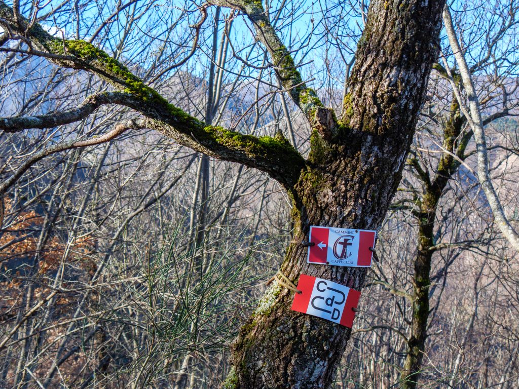
An easy-medium trail of less than 7 km, sharing parts of the route with Monte Acuto trail 261 and the Cammino dei Cappuccini. A single climb leads to a beautiful panoramic spot where the Genga Rossa spur rises. Continuing, you reach the road that climbs to the Madonna dell'Acquanera hermitage and descend through the small villages of Ca' d'Eusepio and Caeggiole. The trail is always comfortable, scenic, and presents no difficulty in navigating.

WLK09 Genga Rossa Read Post »

Walks

WLK08 Monte Spicchio

A short but enjoyable route that circumnavigates Mount Spicchio, near Frontone, and winds through the two valleys of the Cinisco and Mandrale Rivers, crossing the latter twice. The almost alpine vegetation is remarkable, characterized by reforestation of black pine in the second section of the route.

WLK08 Monte Spicchio Read Post »

Walks

WLK07 Frontone – Chiusure

A route that takes just over an hour, but shouldn't be underestimated due to the very steep initial climb. It runs alongside the Cinisco Valley and has Monte Acuto as a reference point ahead. The descent is easy and entirely through the woods. If you're short on time and are near Frontone, this is definitely a recommended route, with beautiful views of the Cinisco Valley and Monte Acuto.

WLK07 Frontone – Chiusure Read Post »

Walks

WLK06 Petrara – Monte Roma

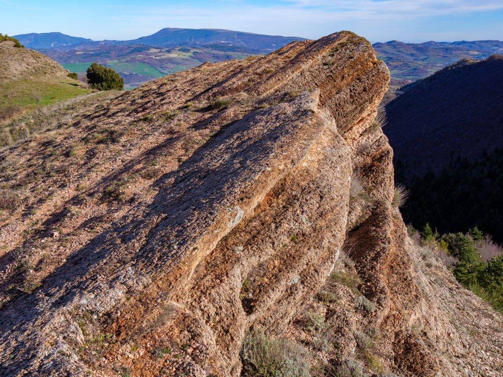
A challenging route, both in length and elevation gain, but very interesting and scenic. From Petrara, it reaches the La Cingualdese refuge and returns, taking the dirt road of Monte Roma. Once at the top, the view is dominated by the peaks of Monte Catria and Monte Acuto, with the steep, jagged rock faces of Corno del Catria and Balze della Porta. A section on the trail requires some attention to orientation, but the GPS track is a reliable reference.

WLK06 Petrara – Monte Roma Read Post »

Walks

WLK02 Petrara – Pianello

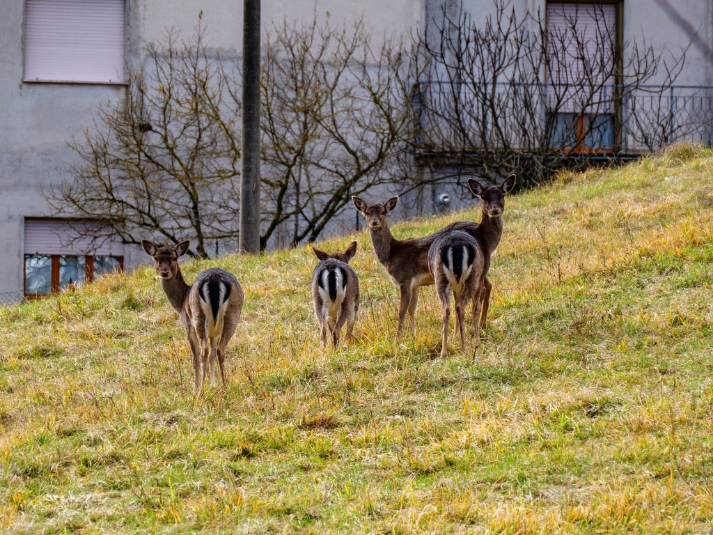
A short and easy hike, consisting of just one climb and one descent. The initial stretch follows a dirt road along the Palombara Valley, then descends along Via Cupa, a pleasant dirt road with beautiful views of the jagged rocky slopes of Monte Roma. It skirts the hills of Poggio Pantano and Poggio Pantanello and passes through Petrara and Pianello, two hamlets of Serra Sant'Abbondio. It's said to be frequented by wolves, but I only encountered a small group of friendly roe deer.

WLK02 Petrara – Pianello Read Post »

Walks
Scroll to Top